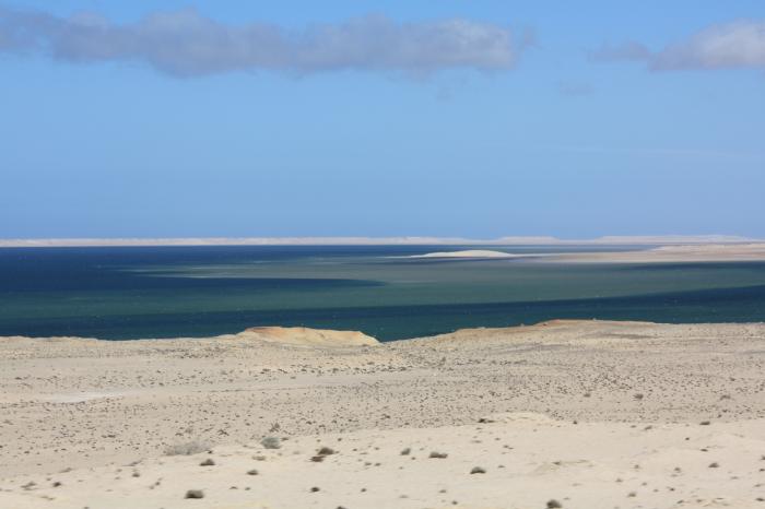
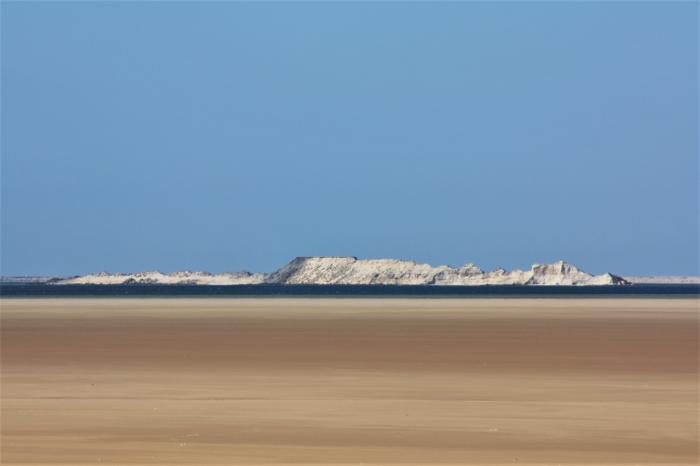
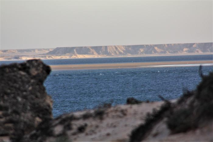
Lagoon of Dakhla
Western Sahara /
Wad-ad-Dahab /
ad-Dahlah /
World
/ Western Sahara
/ Wad-ad-Dahab
/ ad-Dahlah
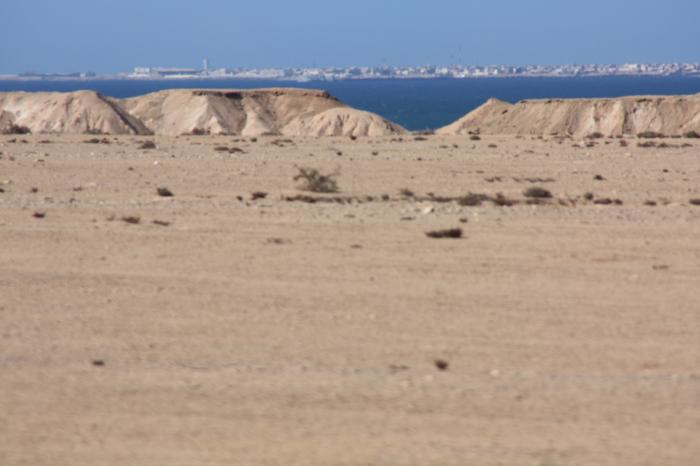
, 8 km from center (الداخلة)
World / Western Sahara
lagoon, windsurfing, nature conservation park / area, invisible
french: Baie d'Oued Eddahab
spanish: Rio de Oro = the "river" of gold
windsurf area:
www.youtube.com/watch?v=IIq4gtFuUrk
about the naming "Rio de oro" (sp.) - Ued-ad-Dahab :
That it was only this bay that gave rise to tales of a river, was opened on the access to the gold from the interior of Africa and the colony of "Rio de Oro" and Oued ed Dahab is now the province gave the name, shows a map of the lagoon from 1885 (which is missing on the map not even notice that the water level in the river later in "very low" and he at low tide, "almost always" dry so!) the public relations lay in the hands of "Soc Española de Africa y Colon Istas Istas. "- After a year earlier Africa was divided at the Berlin conference.
Interestingly, the juxtaposition of the campaign (see next chart) and the realistic representation of the land routes from the lagoon on Imlili / El Fady (45km south) to the east: on the second card of 1900.
The reference to gold as a commodity is to be found earlier when Portuguese traders ("Rio de Ouro") and in 470 BC Hanno, who also reports of a navigable river (apparently in the running to the north Wad-ad-Dahab!):en.wikipedia.org/wiki/Hanno_the_Navigator
The disappointment of the dupes, especially given inland to 100 m to the rising terrain Aguerguer the name has: mountain (s) / Land of Despair, see also:
wikimapia.org/#lat=23.8048214&lon=-15.6280518&z=11&l=0...
3.Photo: 48,611,925 www.panoramio photo
The gold deposits are located 350 km south on the other hand, 85 km from the coast of Mauritania:
wikimapia.org/#lat=21.8665968&lon=-14.6063232&z=8&l=5&... There will be invested by 2013 one billion euros for the development (!) Of Tasiast pits.
Another explanation of origin of the name refers to the influence of the reports of arab merchants about the Senegal river 1000 years ago(quoted from en.wikipedia.org/wiki/S%C3%A9n%C3%A9gal_River :)
"As the Senegal River reached into the heart of the gold-producing Ghana Empire and later the Mali Empire, Trans-Saharan traders gave the Senegal its famous nickname as the "River of Gold". The Trans-Saharan stories about the "River of Gold" reached the ears of Mediterranean merchants that frequented the ports of Morocco and the lure proved irresistible. Arab historians report at least three separate Arab maritime expeditions - the last one organized by a group of eight mughrarin ("wanderers") of Lisbon (before 1147) - that tried to sail down the Atlantic coast, possibly in an effort find the mouth of the Senegal." (Thanks to Hadidi for the reference)
the National Park Dakhla, announced for decades, is allegedly divided into two parts. In the south of the city of Ad Dakhla a part of the park extends inland to the mountains of Adrar Souttouf with its lush acacia dry river beds. There are still Barbary sheep and dorcas-gazelles. Again, oryx and addax are to be settled. The coastal area is located on the park borders of the Mauritanian Banc-d'Arguin National Park. It runs 180 km along the coast here. This is where the rare Mediterranean monk seals.
Nearby cities:
Coordinates: 23°42'48"N 15°51'21"W
- Gulf of Cintra 82 km
- Dakhlet Nouadhibou 309 km
- El Karaane / Lagoon of Khnifiss 599 km
- Merja Zerga Lagoon 1549 km
- Vale de Gaio Dam 1774 km
- Obidos Lagoon 1857 km
- Mar Menor 2121 km
- Salt Lake 2144 km
- Laguna de Gallocanta 2341 km
- Ehy Lagoon 2482 km