Piatra-Neamt Historical Area
Romania /
Neamt /
Piatra Neamt /
World
/ Romania
/ Neamt
/ Piatra Neamt
World / Romania
invisible, historic city center, historic district
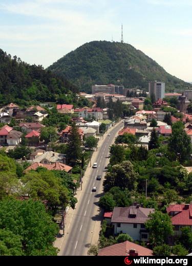
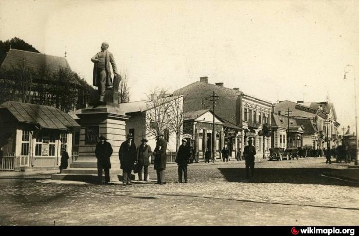
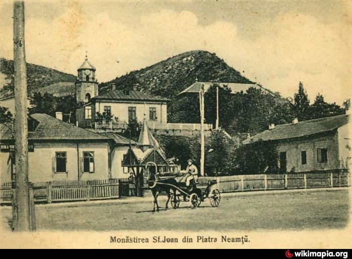
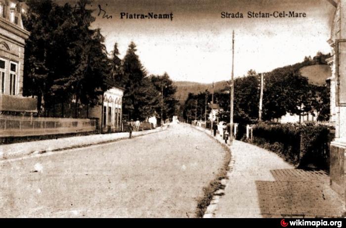
this area represents mostly the undemolished part of the town that escaped the comunist sistematisation between 1960-1980
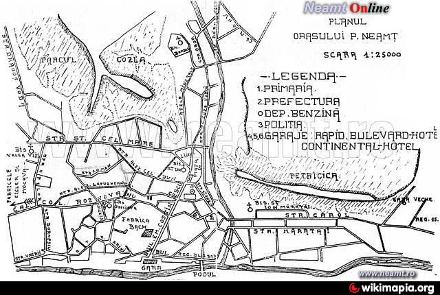
The first picture is the town map from 1929
The first picture is the town map from 1929
Nearby cities:
Coordinates: 46°56'1"N 26°21'58"E
- Chisinau Central Area & City Center (Downtown) 186 km
- Baia Mare 233 km
- Centre 336 km
- The Centre of the city 425 km
- City Centre 475 km
- City center 621 km
- Oleksandrivskyi rayon 669 km
- Historical and Architectural Zone of Center of Poltava 674 km
- Centre 1067 km
- Zemlyanoy Gorod 1252 km
- Piatra-Neamt 0.5 km
- Central District 0.5 km
- Valea Viei District 1.7 km
- Cozia Hill 2.2 km
- Carloman hillside 2.6 km
- Cernegura Mountain 2.9 km
- Batca Doamnei Lake 3.1 km
- Ocol Area 3.4 km
- Vaduri Reservoir 9 km
- Pangarati Reservoir (on Bistrita river) 12 km