Brouwersdam
Netherlands /
Zeeland /
Schouwen-Duiveland /
World
/ Netherlands
/ Zeeland
/ Schouwen-Duiveland
World / Netherlands / Zuid-Holland
dam
Add category

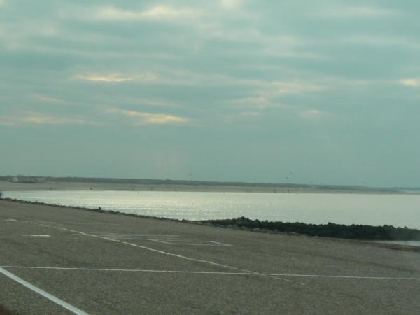
Brouwersdam (1971) is the westdam of the Grevelingen.
Grevelingen or Grevelingenmeer (Lake Grevelingen) is a former Rhine-Meuse estuary on the border of the Dutch provinces of South Holland and Zeeland that has become a lake due to the Delta Works.
It is situated between the former islands of Goeree-Overflakkee (South Holland) and Schouwen-Duiveland (Zeeland) which are connected by the Brouwersdam on the west and the Grevelingendam on the east.
Wikipedia article: http://en.wikipedia.org/wiki/Grevelingen
Nearby cities:
Coordinates: 51°45'46"N 3°50'46"E
- Haringvlietdam 16 km
- Neeltje-Jans 18 km
- Veersegatdam 24 km
- Zandkreekdam met Zandkreeksluis 24 km
- Amstdamse Strekdam 103 km
- Afsluitdijk 169 km
- Olef barriere lake 225 km
- Hanningfield Dam 231 km
- Wuppertalsperre 247 km
- Bahndamm der ehem. Buschbahn 401 km
- Port Zélande 1.2 km
- Beach of Schouwen 9 km
- Dunes of Schouwen 9 km
- Schouwen-Duiveland (municipality) 9 km
- Schouwen-Duiveland 10 km
- Grevelingen Lake 11 km
- Goeree-Overflakkee (municipality) 17 km
- Goeree-Overflakkee 20 km
- Zeeland 30 km
- South Holland 51 km