Metchosin Park
Canada /
British Columbia /
Sooke /
World
/ Canada
/ British Columbia
/ Sooke
World / Canada / British Columbia / Capital
park
Add category
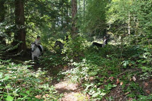
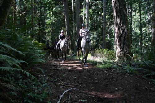
Also called 100 Acre Park. There are trails through 100 acres of crown land with access from Clapham Drive, Cook Road, Arden Road and Ed's Lane off Liberty Road.
Nearby cities:
Coordinates: 48°22'5"N 123°34'21"W
- Matheson Lake Regional Park 3.2 km
- Roche Cove Regional Park 4.9 km
- Mount Wells Regional Park 8.9 km
- Coburg Peninsula 10 km
- Royal Roads University and Hatley Park National Historic Site 10 km
- East Sooke Regional Park 10 km
- Sea-to-Sea Regional Park Reserve 11 km
- Sooke Mountain Provincial Park 12 km
- Mill Hill Regional Park 13 km
- Beacon Hill Park 16 km
- Pearson College 2.3 km
- Swanwick Ranch 2.5 km
- Pedder Bay 3.1 km
- Military Training area - Mary Hill Battery 3.1 km
- Metchosin Golf Course & Country Club 4 km
- William Head Minimum Security Jail 4.2 km
- Canadian Forces Ammunition Depot Rocky Point 4.4 km
- Olympic View golf course 5.3 km
- Albert Head Military Training Area 6.7 km
- Ex-Metchosin gravel pit 7.6 km