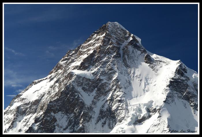
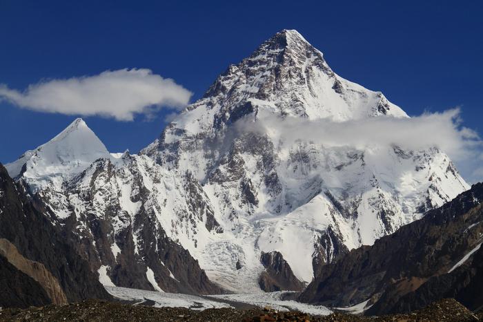
K2 (8611m)
India /
Jammu and Kashmir /
Kargil /
World
/ India
/ Jammu and Kashmir
/ Kargil
World / Pakistan / Northern Areas / Northern Areas
mountain, summit, dangerous place / area, interesting place, Eight-Thousander


Elevation: 8614 meters (28,261 feet)
K2 is the second-highest mountain peak on Earth. It is located in the Karakoram range of the Himalayas, in Pakistani-Kashmir on the border between the Gilgit-Baltistan region and the Taxkorgan Tajik Autonomous County of Xinjiang, China
Chinese authorities officially refer to K2 as Qogir. This name is derived from Chogori, a name made up by Western explorers early in the 20th century from two Balti words, chhogo(big) and ri(mountain). Other names include Mount Godwin-Austen, Lamba Pahaad (Tall Mountain, in Urdu), Dapsang, Kechu or Ketu (both derived from K2)
It is considerably more dangerous to climb then Everest.
peakbagger.com/peak.aspx?pid=10515
Wikipedia article: http://en.wikipedia.org/wiki/K2
Nearby cities:
Coordinates: 35°52'54"N 76°30'47"E
- Gasherbrum massif 12 km
- Masherbrum Range 29 km
- Urduk Massif 30 km
- Trango Towers 33 km
- Skamri Range 54 km
- Choktoi Group 57 km
- Ghundus Skari, Surmo Baltistan. 95 km
- Forest Benoy 151 km
- Alagar Mount 183 km
- Glacier 194 km
- K2 north side Glacier 10 km
- North Gasherbrum Glacier 16 km
- Baltoro Glacier 22 km
- Sarpo Laggo Glacier 23 km
- Shaksgam Valley 26 km
- Gondukoro/Gondogoro Glacier 33 km
- Charaksa Glacier 46 km
- Aling glacier (with tributaries) 46 km
- Nobande Sobande Glacier 56 km
- Choktoi Glacier 57 km
Comments