Mount Moriarty
Canada /
British Columbia /
Parksville /
World
/ Canada
/ British Columbia
/ Parksville
World / Canada / British Columbia / Nanaimo
mountain, hiking, summit
1,603 m (5,259 ft)
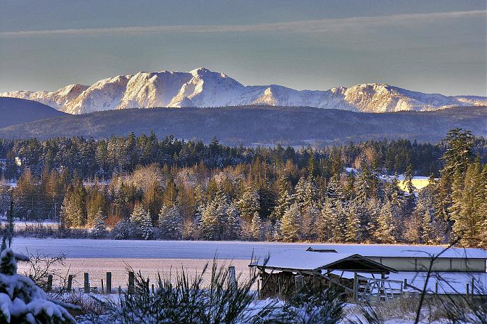
On the northwest axis that generally delineates the alpine spine of Vancouver Island, Mount Whymper lies ~26km to the southeast and Mount Arrowsmith ~15 km to the northwest. Both are in plain view from the summit of Mount Moriarty on a clear day.
The mountain is named for William Moriarty, a lieutenant on the HMS Plumper, a British naval vessel that was very prominent in the exploration and early development of Vancouver Island.
Wikipedia article: http://en.wikipedia.org/wiki/Mount_Moriarty
Nearby cities:
Coordinates: 49°8'11"N 124°26'39"W
- Comox Glacier 82 km
- Constitution Hill 92 km
- Mount Washington Ski Area 93 km
- Catface Range 114 km
- Mount Waddington 261 km
- Silverthrone Caldera 303 km
- Sibola Mount 551 km
- Copper and Thornhill Mountains 661 km
- Seven Sisters 704 km
- Graham Seamount 852 km
- Labour Day Lake 1.6 km
- Fourth Lake (Nanaimo River) 8.4 km
- Healy (Panther) Lake 9 km
- Shelton (Echo) Lake 9 km
- Green Mountain 12 km
- Second Lake (Nanaimo River) 17 km
- Haley Lake Ecological Reserve 17 km
- Jump Lake 21 km
- First Lake (Nanaimo River) 21 km
- Cowichan Lake 33 km