CAAP Main (Pasay)
Philippines /
Southern Tagalog /
Bacoor /
Pasay /
NAIA Road (MIA Road)
World
/ Philippines
/ Southern Tagalog
/ Bacoor
World / Philippines / Metropolitan Manila / Pasay City
national government / government
Add category
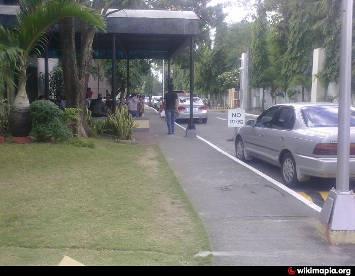
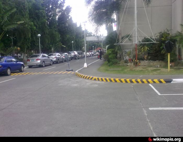
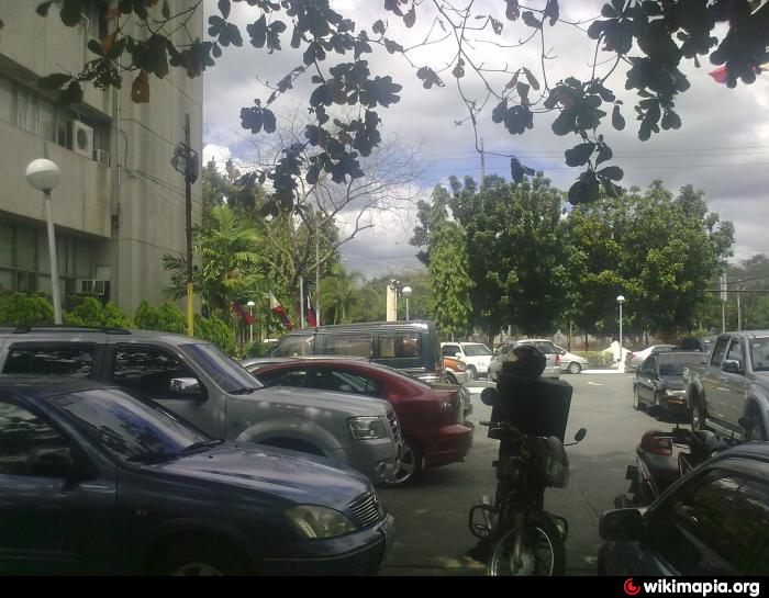
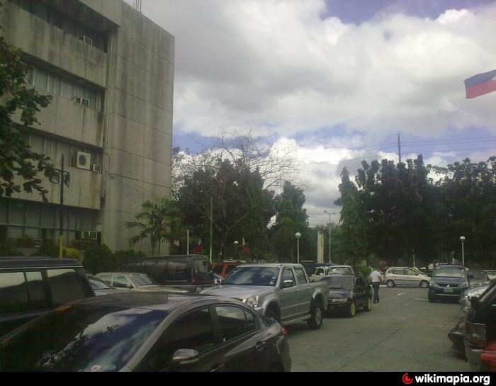
CAAP Main is a national government / government located at NAIA Road (MIA Road) in Pasay. CAAP Main - Pasay on the map.
Nearby cities:
Coordinates: 14°30'51"N 121°0'19"E
- National Mapping and Resource Information Authority 4.4 km
- Mandaluyong City Hall Complex (Maysilo Circle) 7.7 km
- Naic Triangle 33 km
- Equus City (CALABARZON Regional Government Center) 34 km
- National Bureau of Investigation (NBI) - Tagaytay 46 km
- LTFRB 64 km
- Virology and Vaccine Institute of the Philippines 106 km
- National Government Administrative Center 106 km
- Pangasinan Provincial Capitol Compound 189 km
- Nueva Vizcaya Provincial Capitol Compound 220 km
- Baltao Subdivison 0.6 km
- Runway 13/31 0.7 km
- NAIA Terminal 2 Apron 0.8 km
- NAIA Terminal 3 1 km
- Taxiway F4 1.1 km
- Taxiway F5 1.1 km
- Ninoy Aquino International Aiport (RPLL/MNL) 1.1 km
- Ninoy Aquino International Airport Taxiway C 1.2 km
- Ninoy Aquino International Airport Runway 06/24 1.4 km
- Newport City 1.5 km