Saila
Bangladesh /
Sunamganj /
Chhatak /
World
/ Bangladesh
/ Sunamganj
/ Chhatak
World / Bangladesh / Sylhet / Sylhet / Sun Amgonj
village
Add category
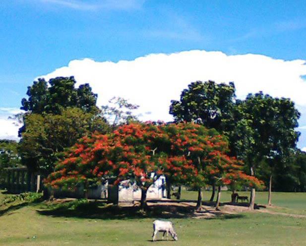
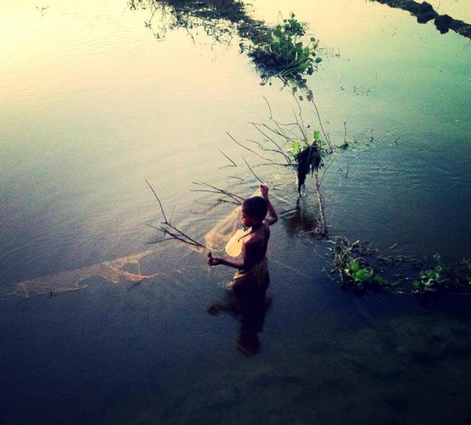
A ancient village, connected 6 Thallukdar in one section hence the name soila (meeting point of the 6 Thallukdars). Surrounding village such as Moinpur, Bagoin were the subsection of this village but separated to form a village them self's. Many Pious, Powerful, Well educated and skilled people have and do live in this village. This village has been very much self sufficient before the British Rule, when the British came to Bangladesh, they realized the potential and the skills of this village and built a Rail Station (Saila Afzalabad Station) approximately 8 km away, this rail station name has been now changed to Afzalabad Station. Saila had its own primary and secondary school (It was initially called Saila Moinpur Bohumuki High School) during imperial rule, unfortunately the high school went to the sub village of Moinpur, during the separation. This village has many civil servants, judges and high skilled workers around the globe and lives in peace and tranquility whilst having 50/50 Hindu and Muslim population.
Wikipedia article: http://en.wikipedia.org/wiki/Saila
Nearby cities:
Coordinates: 24°52'37"N 91°38'25"E
- Shaharpara 13 km
- Bali Bandhi 14 km
- KHADIMPUR 14 km
- Islampur 16 km
- Dargapasha 19 km
- chilaura 20 km
- Village - Rowwail 27 km
- Balaganj 29 km
- shaduhati school and villages 32 km
- Dhaka-Daksin Union 39 km
- kalyan pur 2.3 km
- Beel, 6.9 km
- Jawar Bill 11 km
- Lake and Gellkarr Haour 12 km
- Uttar Biswanath 12 km
- Khalaruka 13 km
- bausha, chairchira, rommongal 15 km
- Sunamganj District 31 km
- Sylhet Division 34 km
- Sylhet District 42 km