RMS Lusitania (WWI Ocean Liner Wreck)
Ireland /
Cork /
Kinsale /
World
/ Ireland
/ Cork
/ Kinsale
World / Republic of Ireland
crash site, ship wreck, interesting place
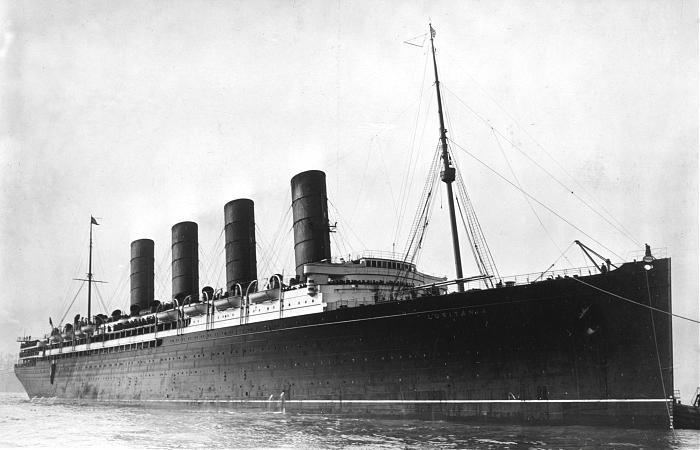
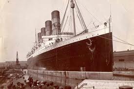
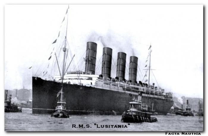
The RMS Lusitania was a Cunard line ocean liner.She was making for Queenstown when she was torpedoed by U-20.Under command by Walther Schwieger. She sank in 18 minutes, just eight miles from shore.She went down with 1,198 lives.Almost a hundred were children.
en.wikipedia.org/wiki/SM_U-20
en.wikipedia.org/wiki/SM_U-20
Wikipedia article: http://en.wikipedia.org/wiki/RMS_Lusitania
Nearby cities:
Coordinates: 51°25'0"N 8°32'59"W
- Cork City Boundary Extension 59 km
- Gaeltacht na Rinne / Ring Ghaeltacht 94 km
- Copper Coast GeoPark 111 km
- Glen of Aherlow (Gleann Eatharlaí) 116 km
- Kenmare River Estuary (An Ribhéar) 121 km
- Castlemaine Harbour / Loch na dTrí gCaol 128 km
- Ballinskelligs Bay / Bá na Scealg 133 km
- Waterford Harbour / Cuan Phort Láirge 143 km
- The Dingle Peninsula / Corca Dhuibhne 166 km
- Wexford Harbour / Cuan Loch Garman 176 km
- Old Head of Kinsale / An Seancheann 22 km
- Holeopen Bay East 23 km
- Coolbawn 24 km
- Inchydoney Island 30 km
- Galley Head / Ceann Dhún dTéide 31 km
- Tralong Bay 39 km
- Carragilly 42 km
- Glandore Harbour 42 km
- Myross 43 km
- County Cork (Contae Chorcaí) 65 km