Ceilândia
| city
Brazil /
Goias /
Aguas Lindas de Goias /
World
/ Brazil
/ Goias
/ Aguas Lindas de Goias
World / Brazil / Distrito Federal / Brasília
city, draw only border
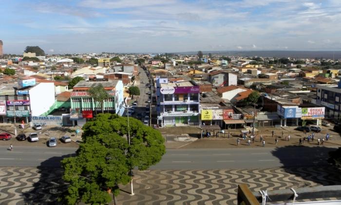
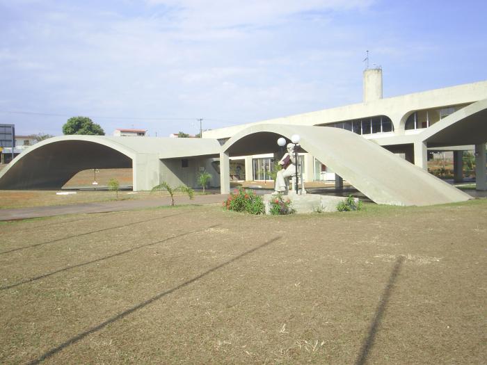
Ceilândia is an administrative region of the Federal District, Brazil.
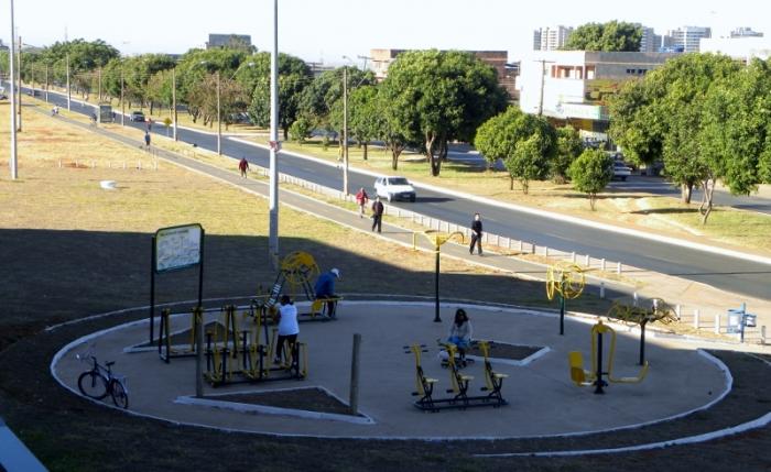
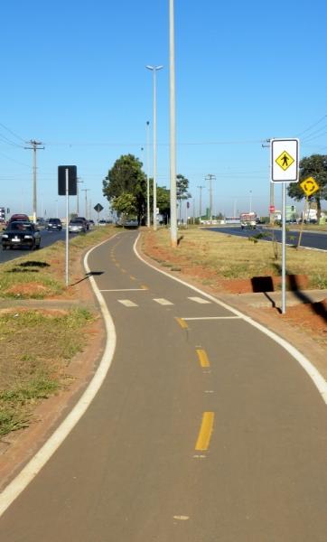
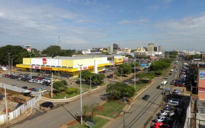
Located 24 kilometers from Brasília, and linked by a four-lane highway, Ceilândia occupies an area of 230,30 square kilometers and is in one of the most privileged hydrographic areas of the Federal District. It has several streams forming its boundaries and is in the basin of the Descoberto River, which supplies 60% of the population of the Federal District.
Ceilândia was created by the government in the 1970s to keep people from moving into Brasília and setting up shanty towns. The root of the name Ceilândia is 'CEI' (Portuguese: Centro de Erradicação de Invasões (Squatters Eradication Center).
Official page: www.ceilandia.df.gov.br
Wikipedia article: http://en.wikipedia.org/wiki/Ceilândia
Nearby cities:
Coordinates: 15°50'22"S 48°11'12"W
- Luziânia 38 km
- Federal District 39 km
- Corumbá de Goiás 78 km
- Unaí 78 km
- Cocalzinho de Goiás 90 km
- Pirenópolis 117 km
- Mimoso de Goiás 122 km
- Goianésia 157 km
- Vila Boa 165 km
- Itapuranga 219 km