Uhlerstown Covered Bridge
USA /
New Jersey /
Frenchtown /
World
/ USA
/ New Jersey
/ Frenchtown
World / United States / Pennsylvania
covered bridge
Add category
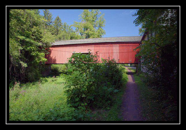


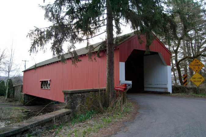


The bridge is located on Township Route 441 west of Uhlerstown, Pa. The bridge was erected in 1832 and the builder is unknown, the construction is with the Town Truss and has 1 span. The structure is 110 feet and 15 feet wide and crosses the Tinicum Creek.
Nearby cities:
Coordinates: 40°31'31"N 75°4'23"W
- Pennsylvania Railroad Bridge (Ruins/Demolished) 135 km
- Conowingo Bridge (Former Site) 135 km
- Port Deposit Bridge remnants 136 km
- Abandoned Bridge Piers 262 km
- Restored Covered Bridge & Park 854 km
- Shadyside Recreation Area 900 km
- Roann Covered Bridge 916 km
- Bell Ford Bridge 945 km
- Clearbranch Methodist Baptist Church and Covered Bridge 1268 km
- Covered Bridge Park 1652 km
- Frenchtown, New Jersey 1.4 km
- Marshall Island 4.2 km
- Treasure Island Scout Reservation (closed) 4.9 km
- Milford, New Jersey 4.9 km
- Ringing Rocks Park 6.3 km
- Hunterdon County, New Jersey 11 km
- Durham Township 13 km
- Lake Nockamixon / Nockamixon State Park 15 km
- Bucks County, Pennsylvania 22 km
- Northampton County, Pennsylvania 33 km