Maibang
India /
Assam /
Maibong /
World
/ India
/ Assam
/ Maibong
World / India / Assam / North Cachar Hills
town
Add category
situated along Lumding - Silchar Road & Railway - about 40 km from Lumding
Maibang << The name comes from a Dimasa word literally meaning "plenty of rice".
Maibang town derives its water from River Mahur
Dima Hasao District (of which Maibang is a part) was a part of the Dimasa Kachari Kingdom from the 16th Century till 1832 and Maibang was the medieval Capital - which got shifted to Dimacha at the behest of King Siuhungmung of the Tai-Ahom kingdom.
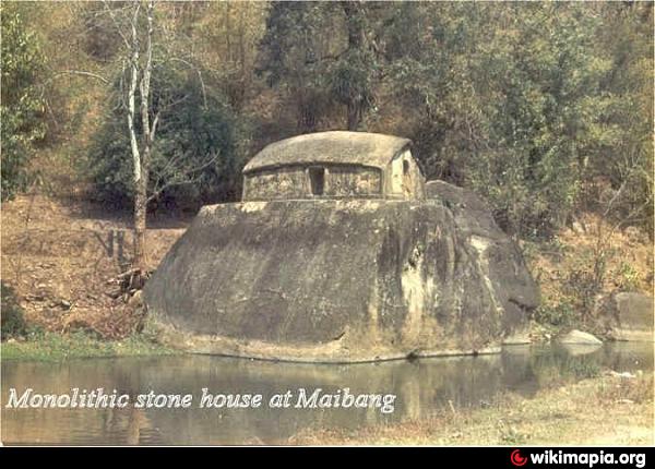
In 1832, the British Empire took over this territory as the last Kachari King died heirless and there was no one else to defend the kingdom. On the south of the present Maibang town you will still find the ruins of the Kachari Kingdom on the eastern bank of River Mahur.
Maibang and its environs have been under the reign of the Dimasa Kachari Kingdom and the British Empire for centuries, right until Indian Independence in 1947.
Maibang is a major producer of rice and is known as the 'granary of the district'. More and more people are getting to know Maibang as a good hill station for summer vacations.
Maibang << The name comes from a Dimasa word literally meaning "plenty of rice".
Maibang town derives its water from River Mahur
Dima Hasao District (of which Maibang is a part) was a part of the Dimasa Kachari Kingdom from the 16th Century till 1832 and Maibang was the medieval Capital - which got shifted to Dimacha at the behest of King Siuhungmung of the Tai-Ahom kingdom.
In 1832, the British Empire took over this territory as the last Kachari King died heirless and there was no one else to defend the kingdom. On the south of the present Maibang town you will still find the ruins of the Kachari Kingdom on the eastern bank of River Mahur.
Maibang and its environs have been under the reign of the Dimasa Kachari Kingdom and the British Empire for centuries, right until Indian Independence in 1947.
Maibang is a major producer of rice and is known as the 'granary of the district'. More and more people are getting to know Maibang as a good hill station for summer vacations.
Wikipedia article: http://en.wikipedia.org/wiki/Maibong
Nearby cities:
Coordinates: 25°18'27"N 93°8'13"E
- JIRIBAM 55 km
- Sylhet Divisional Town 138 km
- Nongpoh 147 km
- Kanchanpur 159 km
- Mawkyrwat 174 km
- Nongstoin 196 km
- Teliamura 223 km
- Dalu (Meghalaya, India) 299 km
- Tura 303 km
- Barisal Divisional Town 404 km
- Road Tunnel 8.3 km
- Mahur Ponglo 8.4 km
- Head Quarter of 5th Assam Police Batallion, Sontila, Haflong 16 km
- Confluence 17 km
- Electricity Distribution Centre, Haflong 17 km
- Sarkari Bagan 18 km
- Hagjer Nagar 19 km
- Topodisa Dimasa 19 km
- Haflong Civil Hospital Complex 19 km
- Manipur 93 km