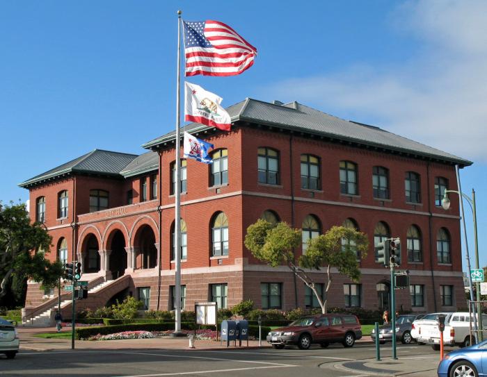
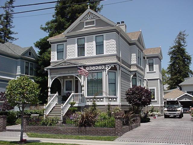
Alameda, California
USA /
California /
Alameda /
World
/ USA
/ California
/ Alameda
World / United States / California
city, draw only border

The incorporated City of Alameda, California, is coterminious with the township of Alameda. Included in it are the main island, Bay Farm Island, and Government Island. Alameda Island lies on the east side of San Francisco Bay, roughly parallel to Oakland. Before 1902 it was a peninsula, connected to the mainland by a mile-wide neck of marshy ground. That neck of land eventually became Park street and the western most of the three bridges. In that year, the completion of the Tidal Canal, a federal harbor improvement project started in 1874, severed Alameda from the east shore of San Francisco Bay. Today Three bridges and two tubes furnish access routes between Oakland and Alameda.
Wikipedia article: http://en.wikipedia.org/wiki/Alameda,_CA
Nearby cities:
Coordinates: 37°45'30"N 122°16'42"W
- Oakland, California 15 km
- Fremont, California 21 km
- San Jose, California 38 km
- Stockton, California 83 km
- Sacramento, California 121 km
- Merced, California 159 km
- Fresno, California 227 km
- Carson City, Nevada 266 km
- Reno, Nevada 293 km
- Redding, California 322 km
- Robert W. Crown Memorial State Beach 1.4 km
- Lagoon 1.6 km
- Former Alameda Shoreline 1.8 km
- College of Alameda 2.7 km
- Alameda Point Seaplane Lagoon 3.1 km
- Bay Farm Island 3.9 km
- Alameda Point 4 km
- San Francisco Bay 4.8 km
- Former Runway 13/31 4.9 km
- San Francisco-Oakland Bay Bridge 8.2 km
Comments