Stockwell Mine
USA /
California /
Searles Valley /
World
/ USA
/ California
/ Searles Valley
World / United States / California
mine
Add category
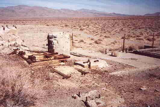
Ten miles northeast of Trona on the west slope of Slate Range. The elevation is about 3,000 feet and is three miles northeast of the mill. The type of ore is gold associated with pyrite, 2% copper. The discovery was about 1897. This property was acquired by B. P. Greenleaf and Billey Norvell early in the 1920'S. In 1918 they organized a company with Vernon E. Stockwell. In 1924 Mr. Ed Teagle bought the property from Stockwell Mining Company for $100,000. From 1924 to 1933 little besides assessment work was done. In 1933 mining began and between 1933 and 1936, 22 men were employed.
In 1941 a new mill was erected but the mine was closed by the war production board in 1942. In 1950 the mine was rehabilitated and there has been activity at the mine from then until at least 1975.
www.trona-ca.com/sv-mines.htm
In 1941 a new mill was erected but the mine was closed by the war production board in 1942. In 1950 the mine was rehabilitated and there has been activity at the mine from then until at least 1975.
www.trona-ca.com/sv-mines.htm
Nearby cities:
Coordinates: 35°51'0"N 117°15'32"W
- Briggs Mine 12 km
- Searles Valley Minerals 15 km
- Death Valley Onyx Mine 25 km
- Montgomery Mine 32 km
- New Hope Group 34 km
- Queen of Sheba/Carbonate Mines 37 km
- Wildrose Antimony Mines 45 km
- Global Pumice - Southwest Mine 59 km
- Talc City Mines 65 km
- Santa Rosa Mines 76 km
- Slate Range 10 km
- Searles Lake 15 km
- Naval Air Weapons Station China Lake, South Range 36 km
- Naval Air Weapons Station China Lake, North Range 37 km
- Quail Mountains 40 km
- Panamint Range 44 km
- Panamint Valley 44 km
- Owlshead Mountains 57 km
- Death Valley National Park 62 km
- Fort Irwin National Training Center 78 km