Rourkela
India /
Orissa /
Raurkela Civil Township /
World
/ India
/ Orissa
/ Raurkela Civil Township
World / India / Orissa / Sundargarh
city, taluka headquarter
Tehsil Rourkela, District Sundargarh (Sundargarh), Orissa, Bharat
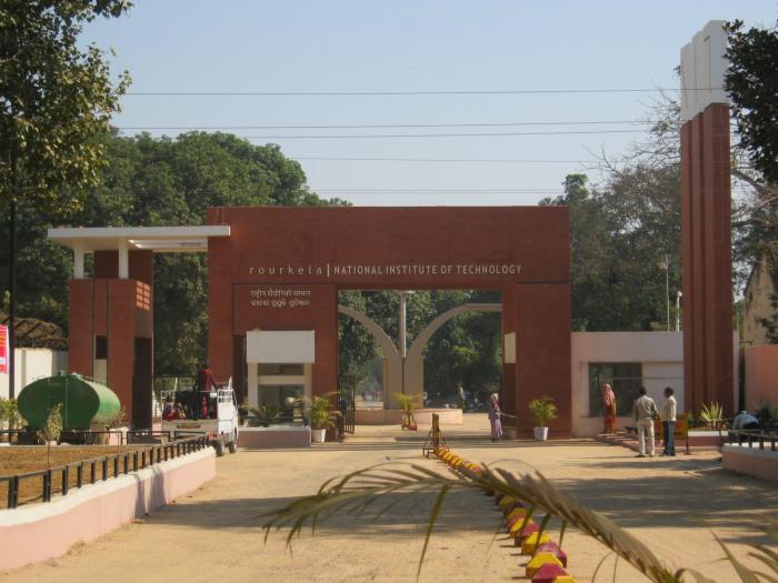
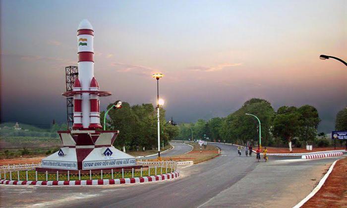
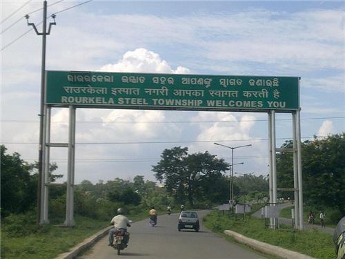
Rourkela (also called as "Rourkela Steel City" ) is located in the north-western tip of the Indian state of Orissa at the heart of a rich mineral belt. It is situated about 340km(211mi) north of state capital Bhubaneswar. It is the second planned city of India after Chandigarh. It is surrounded by a range of hills and encircled by rivers. One of the largest steel plants of the Steel Authority of India Limited, the Rourkela steel plant is situated here. It also has one of the National Institutes of Technology of the country.
Rourkela (also called as "Rourkela Steel City" ) is located in the north-western tip of the Indian state of Orissa at the heart of a rich mineral belt. It is situated about 340km(211mi) north of state capital Bhubaneswar. It is the second planned city of India after Chandigarh. It is surrounded by a range of hills and encircled by rivers. One of the largest steel plants of the Steel Authority of India Limited, the Rourkela steel plant is situated here. It also has one of the National Institutes of Technology of the country.
Wikipedia article: http://en.wikipedia.org/wiki/Rourkela
Nearby cities:
Coordinates: 22°13'33"N 84°51'27"E
- Jamshedpur 141 km
- Ranchi 142 km
- Bokaro Steel City 205 km
- Dhanbad 238 km
- Kharagpur 242 km
- Durgapur 287 km
- Kolkata 351 km
- Patna 382 km
- Khulna 481 km
- Siliguri 616 km
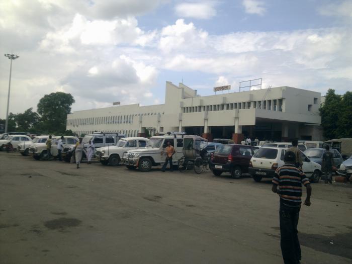
- Rourkela Rail Station 0.4 km
- Nehrupalli 1 km
- Electrical Sub-Station 1.1 km
- Sarna Puja Sthal 1.3 km
- Orampara 1.6 km
- Lime Dolomite and Brick Plant. 1.8 km
- Rourkela Steel Plant 1.8 km
- Udit Nagar 2.2 km
- NEW PLATE MILL 2.4 km
- fertilizer town ship, sec-22 3.8 km
Comments