Fernmeldeturm Koblenz (Koblenz)
Germany /
Rheinland-Pfalz /
Laubach /
Koblenz
World
/ Germany
/ Rheinland-Pfalz
/ Laubach
World / Germany / Rheinland-Pfalz / Koblenz
radio broadcasting tower
Add category
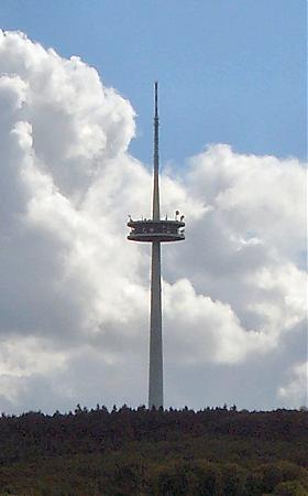
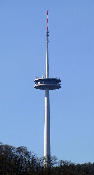

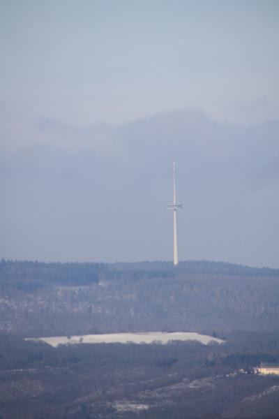

Fernmeldeturm Koblenz is a free standing telecommunications tower on the mountain Kühkopf near Koblenz, Germany. It was built between 1972 and 1976. The Fernmeldeturm Kühkopf is 255 m (837 ft) high and not accessible to visitors.
Wikipedia article: http://en.wikipedia.org/wiki/Fernmeldeturm_Koblenz
Nearby cities:
Coordinates: 50°18'32"N 7°34'10"E
- Former Lammersdorf RAF 1/ACE High Primary Control Center (ALAZ) Site 99 km
- Telecommunication Tower of US Forces - Heidelberg 131 km
- Antenna 215 km
- World's Largest Christmas Tree / Gerbrandy Tower 259 km
- Radio station 267 km
- Former Mont Florentin ACE High Site (FFLZ) 411 km
- Transmission Tower Kiel 477 km
- Tacolneston, radio & television transmitting mast 510 km
- Outer Dowsing North-westward 47/14 C1D 605 km
- Rough Gasfield Flamborough Head South-eastward 47/8-AD 623 km
- Stolzenfels Castle 1.7 km
- Swimm Hall Niederlahnstein 1.8 km
- Koblenz-Stolzenfels 2.2 km
- Oberwerth Stadium 2.7 km
- Conlog Arena Oberwerth 2.7 km
- Electrical substation 2.8 km
- Lahneck Castle (Burg Lahneck) 3 km
- Koblenz University of Applied Sciences 3 km
- Südbrücke 3.1 km
- Federal Archives of Germany 3.7 km