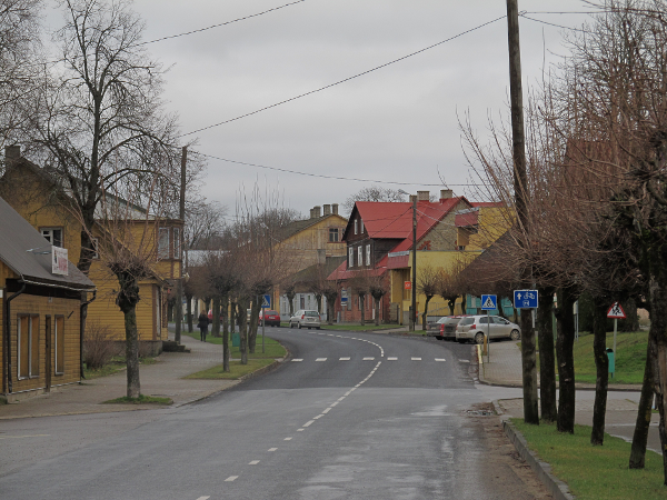
Lihula
Estonia /
Laane /
Lihula /
World
/ Estonia
/ Laane
/ Lihula
World / Estonia / Lääne / Lihula
city, third-level administrative division

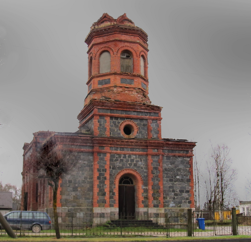
The castle of Lihula was first mentioned in 1211. It was the centre of Diocese Saare-Lääne (Ösel-Wiek). On August 8, 1220, a Swedish army was defeated in battle here by Estonians.
Wikipedia article: http://en.wikipedia.org/wiki/Lihula
Nearby cities:
Coordinates: 58°40'57"N 23°50'3"E
- Espoo (City) 191 km
- Kangasala 324 km
- Sastamala 347 km
- Tampere 351 km
- Ylöjärvi 359 km
- Saint Petersburg 361 km
- Alavus centre 455 km
- Petrozavodsk 670 km
- Arkhangelsk 1096 km
- Nizhny Novgorod 1199 km
- Electrical substation 0.9 km
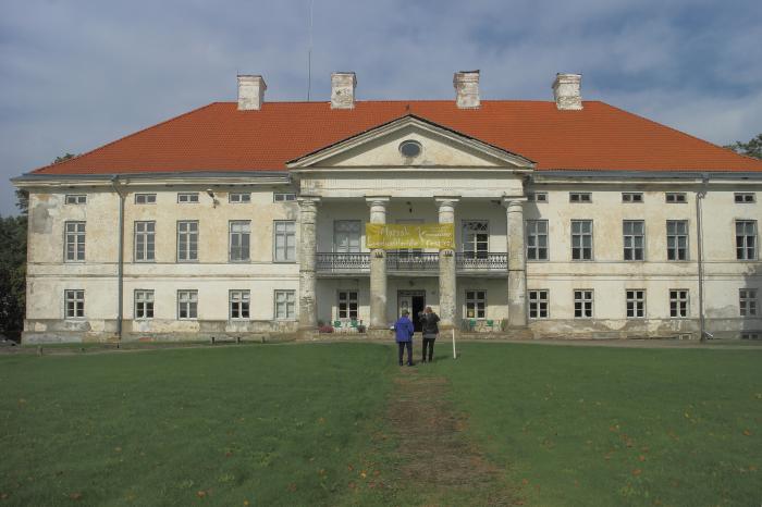
- Tuudi Manor 4.1 km
- lehmad 7.2 km
- Keemu Sadam 12 km
- Matsalu National Park 14 km
- Matsalu Bay 15 km
- Kiideva Manor 20 km
- Lääne County 31 km
- The Väinameri Sea 41 km
- Pärnu County 56 km