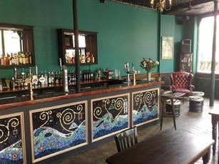
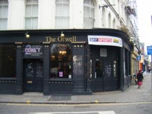
The Orwell (London)
United Kingdom /
England /
London /
A104 Essex Road, 382
World
/ United Kingdom
/ England
/ London
World / United Kingdom / England
bar, pub / public house
Nearby cities:
Coordinates: 51°32'41"N -0°5'17"E
- The Lord Clyde 0.2 km
- The Alwyne Castle 0.7 km
- The Canonbury 0.7 km
- The Junction 1 km
- The Vineyard 1.1 km
- The Red Rose Pub And Snooker Club 2.6 km
- The Enkel Arms 2.6 km
- The Quays 3 km
- The Huntley Centre 3.2 km
- The Floirin 3.4 km
- Kingsland 0.4 km
- Ball's Pond 0.5 km
- Canonbury 0.5 km
- De Beauvoir Town 0.6 km
- Islington 0.9 km
- Highbury Fields 1.1 km
- Highbury 1.2 km
- London Borough of Islington 1.5 km
- Stoke Newington 1.6 km
- London Borough of Hackney 2 km