Sohra
India /
Meghalaya /
Cherrapunji /
World
/ India
/ Meghalaya
/ Cherrapunji
World / India / Meghalaya / East Khasi Hills
town, interesting place, taluka headquarter

Tehsil Sohra, District East Khasi Hills (Shillong), Meghalaya, Bharat.
Better known as Cherrapunjee
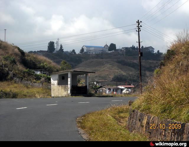
Cherrapunjee seems to be a place quite unknown in our country other than the fact that it is the wettest place on earth, and also the state it belongs to Meghalaya.Sohra has been the traditional seat of learning and Khasi literature Cherrapunjee is 56km in distance from Shillong. But during monsoon the clouds are thick and the drive is difficult.Beautiful town in East-Khasi Hills district located at an altitude of 1484 mts on the edge of a cliff, overlooking the plains of Bangladesh. One of the worlds rainiest places.
The British came from Slyhet in Bangladesh and established it as their headquarters after annexing the Khasi hills in 1833. Originally known as Sohra, the British pronounced it as Churra and later named it as Cherrapunjee.
The Welsh Missionary Society led by Thomas Jones came from Calcutta via Bengal (present day Bangladesh) through the river networks upto the foothills of Cherrapunjee at the Sylhet plains, climbed the steep hills on foot and reached Cherrapunjee on 1841. Aided by Welsh missionaries Cherrapunjee became the birthplace of modern Khasi culture & literature.
Introduction of written Khasi using Roman alphabets, first Khasi publications in 1842, Welsh Presbyterian Church - first church of north-east India in 1848, first Theological College of north-east India in 1897 are the major events & landmarks in Cherrapunjee.
Better known as Cherrapunjee
Cherrapunjee seems to be a place quite unknown in our country other than the fact that it is the wettest place on earth, and also the state it belongs to Meghalaya.Sohra has been the traditional seat of learning and Khasi literature Cherrapunjee is 56km in distance from Shillong. But during monsoon the clouds are thick and the drive is difficult.Beautiful town in East-Khasi Hills district located at an altitude of 1484 mts on the edge of a cliff, overlooking the plains of Bangladesh. One of the worlds rainiest places.
The British came from Slyhet in Bangladesh and established it as their headquarters after annexing the Khasi hills in 1833. Originally known as Sohra, the British pronounced it as Churra and later named it as Cherrapunjee.
The Welsh Missionary Society led by Thomas Jones came from Calcutta via Bengal (present day Bangladesh) through the river networks upto the foothills of Cherrapunjee at the Sylhet plains, climbed the steep hills on foot and reached Cherrapunjee on 1841. Aided by Welsh missionaries Cherrapunjee became the birthplace of modern Khasi culture & literature.
Introduction of written Khasi using Roman alphabets, first Khasi publications in 1842, Welsh Presbyterian Church - first church of north-east India in 1848, first Theological College of north-east India in 1897 are the major events & landmarks in Cherrapunjee.
Wikipedia article: http://en.wikipedia.org/wiki/cherapunjee https://en.wikipedia.org/wiki/Cherrapunji
Nearby cities:
Coordinates: 25°16'25"N 91°43'35"E
- Mawkyrwat 36 km
- Sylhet Divisional Town 39 km
- Nongstoin 62 km
- Nongpoh 77 km
- Kanchanpur 130 km
- JIRIBAM 146 km
- Teliamura 155 km
- Dalu (Meghalaya, India) 157 km
- Tura 163 km
- Barisal Divisional Town 315 km
- mawkisyiem 0.7 km
- National Institute of Technology 2.8 km
- Eco Park Cherrapunji 3.4 km
- Nohsngithiang Falls 3.7 km
- cherrapunji 4 km
- Laittyra village 7.2 km
- Lafarge Umium Mining Pvt. Ltd., India 14 km
- The longest single-belt international conveyor 20 km
- Sylhet District 54 km
- Sunamganj District 55 km