Fingal Spit
| spit/sandspit
Australia /
New South Wales /
Nelson Bay /
World
/ Australia
/ New South Wales
/ Nelson Bay
World / Australia / New South Wales
spit/sandspit
Add category
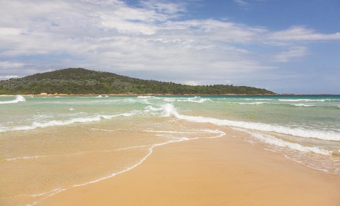
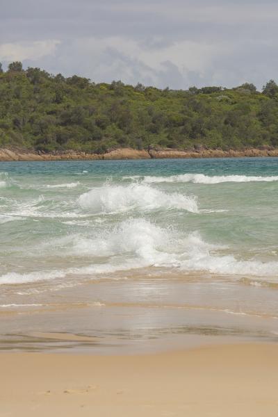
The point was linked to the mainland by a permanent sand spit. In 1891 it was washed away in a gale and the spit has become an intermittent landform, covered at high tide.
The spit is walkable depending on the tide. Serious currents make this very dangerous to try to cross if the water is even waist high.
The spit is walkable depending on the tide. Serious currents make this very dangerous to try to cross if the water is even waist high.
Nearby cities:
Coordinates: 32°44'29"S 152°11'15"E
- Jimmies Beach 6.9 km
- Tombolo - Barrenjoey 124 km
- Cockle Spit 1331 km
- Kokota / The Sandspit 1932 km
- Onetahua (Farewell Spit) 2022 km
- Papakanui Spit 2052 km
- Ngunguru Sandspit 2075 km
- Kaitorete Spit 2142 km
- Pasir 5041 km
- Elephant Spit 6429 km
- Salamander Bay 9 km
- Port Stephens 13 km
- Lemon Tree Passage 15 km
- Dark Point Aboriginal Place 15 km
- North Arm Cove 16 km
- Tiligerry Peninsula 19 km
- Bombah Broadwater 25 km
- Stockton Beach 25 km
- Port Stephens Council 27 km
- Tilligerry State Conservation Area 32 km
Comments