Sinj
Croatia /
Split-Dalmacija /
Sinj /
World
/ Croatia
/ Split-Dalmacija
/ Sinj
World / Croatia / Splitsko-Dalmatinska
city
Add category
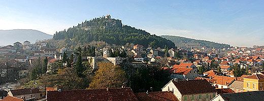
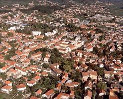
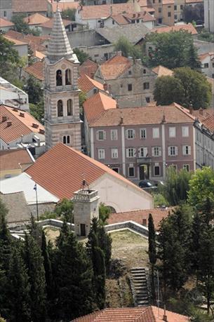
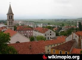
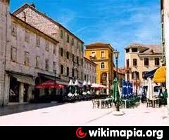
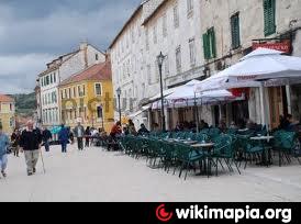
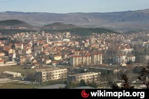
Sinj is situated in the Cetina Valley at the foot of the Dinaric Alps. Caves and the ruins of old fortified shelters are to be found in the surrounding area: evidence of early settlement. In the Middle Ages, Sinj was the capital of the administrative district of Cetina and recognized the sovereignty of the Croatian princes. When the Ottoman Empire expanded into the Balkans, Sinj, too, fell into Turkish hands. It was liberated again in 1699.
Wikipedia article: http://en.wikipedia.org/wiki/Sinj
Nearby cities:
Coordinates: 43°42'19"N 16°38'40"E
- Split 28 km
- Kaštela 31 km
- Гламоч Glamoč 44 km
- Šibenik 62 km
- Bosanski Petrovac 100 km
- Sanski Most 120 km
- Zadar 127 km
- Gospić 142 km
- Bihać 144 km
- Prijedor 145 km
- LDSS 2.2 km
- ex JNA streliste 4.5 km
- Hrvace 6.3 km
- Kukuzovac IS 6.6 km
- Klis 18 km
- Peruča Lake 20 km
- Wind farm Kamensko-Voštane 21 km
- Mosor 21 km
- Livno Municipality 24 km
- Livno Field 26 km