Kalath, Village
India /
Himachal Pradesh /
Nahan /
Kalath, Village
World
/ India
/ Himachal Pradesh
/ Nahan
World / India / Himachal Pradesh / Sirmaur
village
Add category
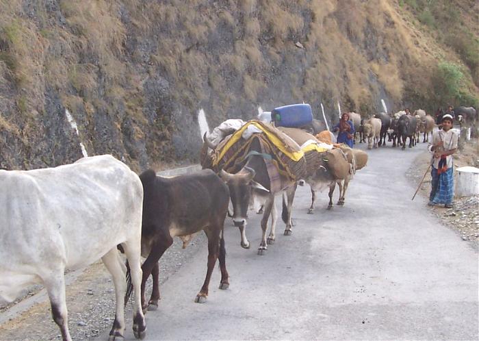
Kalath is a Beutiful Small Village of Sangrah Tehsil,about 11 K.M.from Sangrah and 52 K.M. from Nahan by Road. Sangrah- A Beautiful Town, Green Valley and Tehsil HQ of District Sirmour, Himachal Pradesh, Pin- 173023.
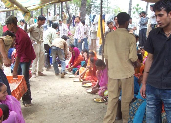
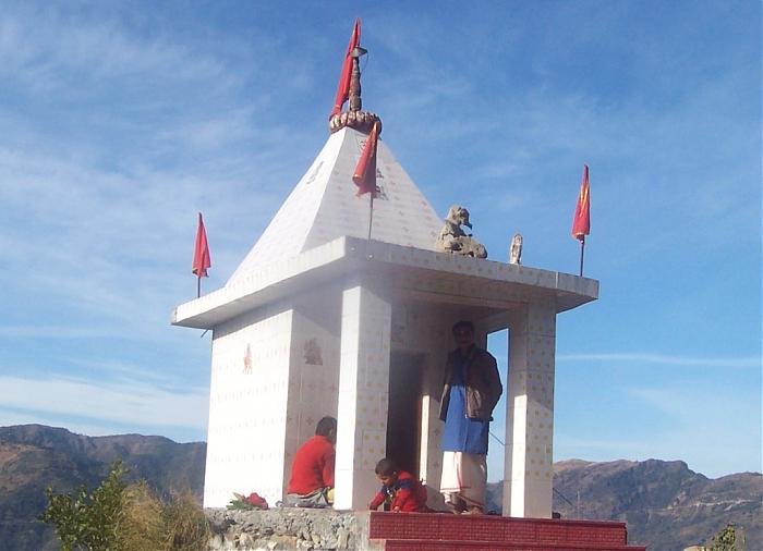
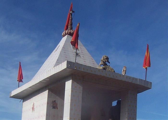
Sangrah Town is about 63 K.M. from Nahan, 65 K.M. from Rajgarh and 25 K.M. from Reenuka Ji (By Road). H.P. Sangrah College, Tehsil Office, BDO, HDO, ADO, BSNL Office, Police Station, Old House of National Awarded Kinkri Devi, Jawga Hils, Jawga Helipad and Lord Vijat–Shiva Temple are the main attraction/Place of Sangrah. There are 41 Panchats in Sangrah Development Block and Tehsil. Population of Sangrah Town is about 6,000 and height is 6,700 Fit. Budechhu, Dhakuli, Nati,Geeh, Thoda Fight and Pudua are the Famous Folk Dance of this area. The main crops/cash crops of Sangrah Tehsil are Maize, Wheat, Gram, Palsies, Tomato, Potato, Ginger, Pees and Garlic. Fruits Apple, Banana, Mango, Dry Fruits and Peach are grown over hear.
Sangrah Vikas Manch
Sangrah Distt. Sirmour (H.P.)-173023
Email-sangrahvikasmanch@gmail.com
Nearby cities:
Coordinates: 30°39'36"N 77°25'45"E
- Sangrah 4.7 km
- Siun 7.6 km
- Pallar 8 km
- Bharog-Baneri 12 km
- Bharapur 16 km
- Dhaulakuan, Paonta Sahib 18 km
- Sainwala 20 km
- MAJRA... 20 km
- Sataun 22 km
- Rajban 26 km
- Brahawtar Forest 2.7 km
- Bharayan Chaman Village 3.8 km
- Renuka Lake 6.2 km
- CHARNA 6.7 km
- Tape Ka Tila, Dadhahu, Renuka ji 7 km
- Osho Farms,Village Chaingan 7.9 km
- Sharma Village Chilga 8.5 km
- SARWA HILLS 8.5 km
- THEER DHAR 9 km
- BHAJAI DHAR AREA 10 km