Former Polish Bank (Bank Polski) (Warsaw)
Poland /
Mazowieckie /
Warsaw /
Bielańska Street, 10
World
/ Poland
/ Mazowieckie
/ Warsaw
World / Poland / Masovian
battlefield, historical layer / disappeared object

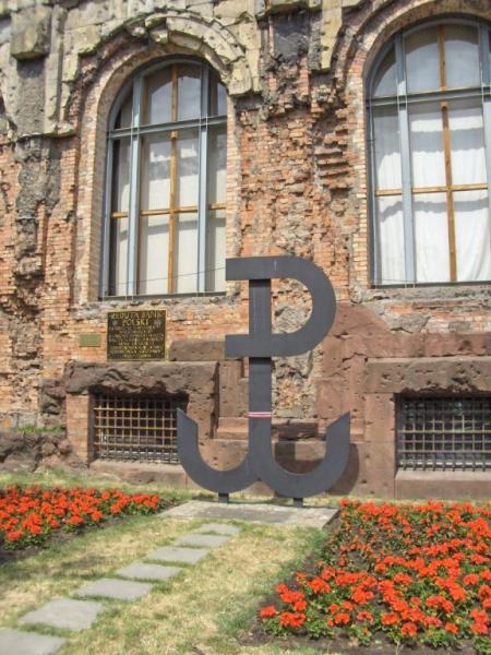
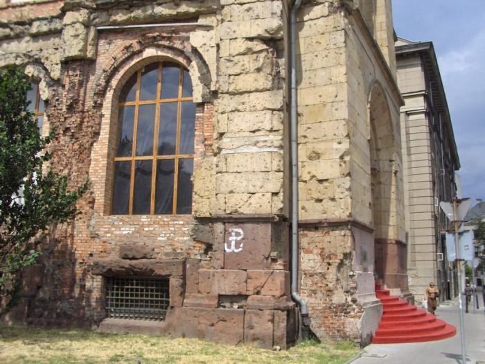
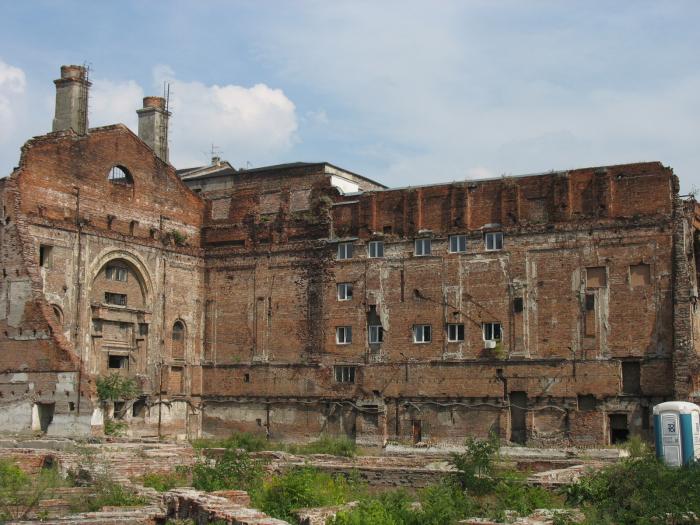
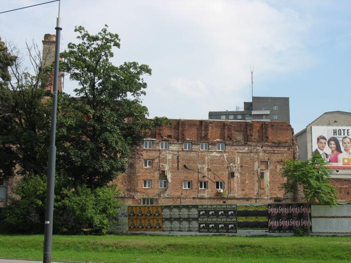

Antique building, ruin, visible signs of shooting from World War II
Wikipedia article: http://pl.wikipedia.org/wiki/Reduta_Bank_Polski
Nearby cities:
Coordinates: 52°14'42"N 21°0'20"E
- Battle of Grunwald 153 km
- Jastrowie 321 km
- Battle of Königgrätz - battlefield from 1866 429 km
- Battle of Seelow Heights (April 16th-19th, 1945) - WW2 450 km
- Battle of Austerlitz, December 2, 1805 (War of the 3rd Coalition) 456 km
- Battlefield Fehrbellin 1675 561 km
- Site of The Battle of Leipzig 601 km
- Verdun Battlegound 1148 km
- Battle of Lake Trasimene 1206 km
- Battle of Dobro Pole 1249 km
- Ratusz-Arsenał metro station 0.3 km
- Bank Square 0.3 km
- Ogród Krasińskich 0.4 km
- Elektoralna Street, 2 0.5 km
- Saxon Garden (Ogród Saski) 0.5 km
- Nowolipie Street, 2 0.5 km
- Nowolipie Street, 2 0.6 km
- Śródmieście 1.6 km
- North Praga 3 km
- Wola 3.5 km