Municipality of Ilinden
Macedonia /
Skopje /
Ilinden /
World
/ Macedonia
/ Skopje
/ Ilinden
, 4 km from center (Илинден)
World / Republic of Macedonia / Skopje
municipality, first-level administrative division, draw only border
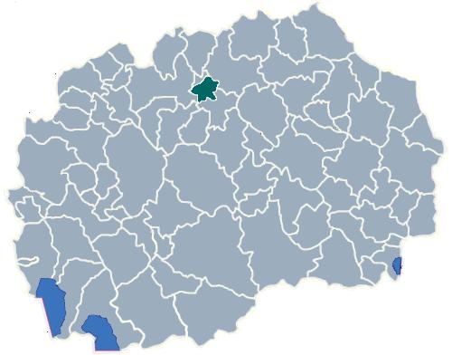
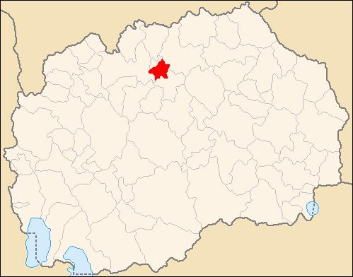
Ilinden (Macedonian: Илинден) is a municipality in northern Republic of Macedonia. Ilinden is also the name of the village where the municipal seat is found. It is named after the Ilinden Uprising in the region of Macedonia in 1903. It is located in the Skopje statistical region.
The municipality borders Aračinovo municipality in the north, Petrovec municipality in the south, Greater Skopje: (Gazi Baba municipality) in the west, and Kumanovo municipality in the east.
The total population of the municipality is 15,984.
Ethnic groups in the municipality (2002 census):
* Macedonians = 13,959
* Serbs = 912
* Roma = 428
* Albanians = 352
* others.
Wikipedia article: http://en.wikipedia.org/wiki/Municipality_of_Ilinden
Nearby cities:
Coordinates: 42°0'5"N 21°37'0"E
- Municipality of Kavadarci 56 km
- Municipality of Prilep 64 km
- Municipality of Kuršumlija 153 km
- Knjaževac Municipality 195 km
- Podgorica Capital City 227 km
- Zaječar Municipality 246 km
- Municipality of Pljevlja 281 km
- Municipality of Nikshic 287 km
- Trebinje Minicipality 318 km
- Municipality of Sabac 376 km
- DTIDZ - Skopje 1 1.6 km
- Krshnik 2.1 km
- Ajvatovski Hill 3 km
- Military airbase People's hero Strahil Pindzhurov-Strasho Pindzhur 3.6 km
- Arachinovski Hill 3.9 km
- Skopje International Airport 6.2 km
- Skopska Blatija 13 km
- Karshijak 16 km
- Municipality of Kumanovo 20 km
- City of Skopje 20 km