Calvary Bastion
France /
Languedoc-Roussillon /
Carcassonne /
World
/ France
/ Languedoc-Roussillon
/ Carcassonne
France / World / Languedoc-Roussillon / Aude / Carcassonne / Carcassonne
city wall
Add category
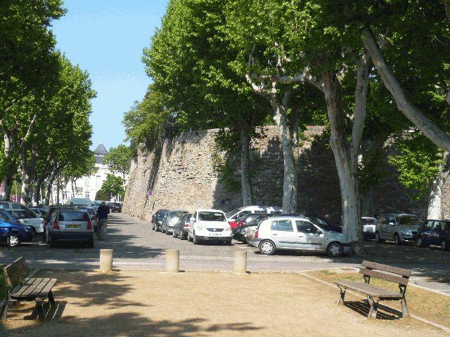
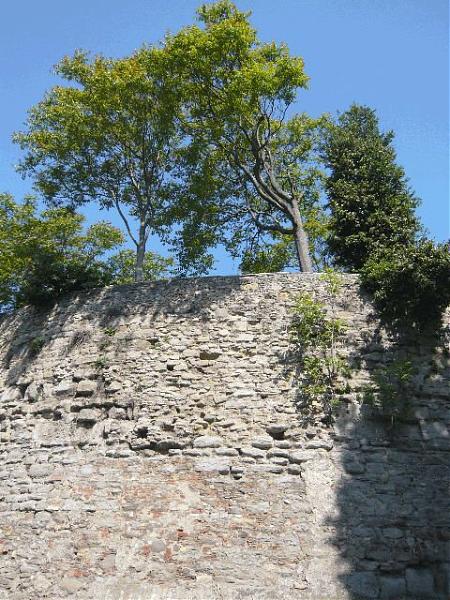
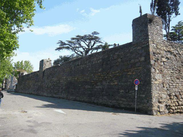
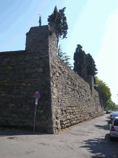
It became the property of the Town of Carcassonne by application of Article One, Section One of the law of 13th April 1908. N.B. The Crucifix was erected c. 1820 on one of the four bastions flanking the town at the end of the 16th century (1560). At that time (i.e. during the Wars of Religion that were devastating the south of France), bastions replaced the corner towers that had been built at the same time as the walls encircling the lower town (1355-1359). www.carcassonne.org/carcassonne_EN.nsf/vueTitre/DocPatr...
Nearby cities:
Coordinates: 43°12'38"N 2°20'51"E
- Ville fortifiée d'Aigues-Mortes 154 km
- Courtine Sainte Trinité 390 km
- Remnant of the old City Walls and Corner Tower 573 km
- Fivizzano - Old Town 635 km
- Ancient city walls 652 km
- Walled City of Lucca 661 km
- Historic Center 688 km
- Prato Centro Storico (downtown) 709 km
- Etruscan Walls 728 km
- City wall 813 km
- Bastide Saint Louis 0.4 km
- Historic Fortified City of Carcassonne 1.4 km
- Zone commerciale Salvaza 3.1 km
- Autoroute A61, échangeur 23, Carcassonne-Ouest 4 km
- Autoroute A61, échangeur 24, Carcassonne-Est 6.1 km
- Military training area 8.3 km
- St. Hilaire (Aude) 13 km
- Villeneuve-Minervois 15 km
- Autoroute A61, aire de repos de Montréal / Bram 19 km
- Naval Comms Centre - La Lauzette 20 km
Bastide Saint Louis
Historic Fortified City of Carcassonne
Zone commerciale Salvaza
Autoroute A61, échangeur 23, Carcassonne-Ouest
Autoroute A61, échangeur 24, Carcassonne-Est
Military training area
St. Hilaire (Aude)
Villeneuve-Minervois
Autoroute A61, aire de repos de Montréal / Bram
Naval Comms Centre - La Lauzette