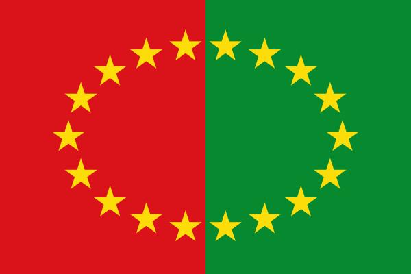
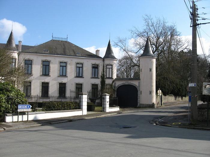
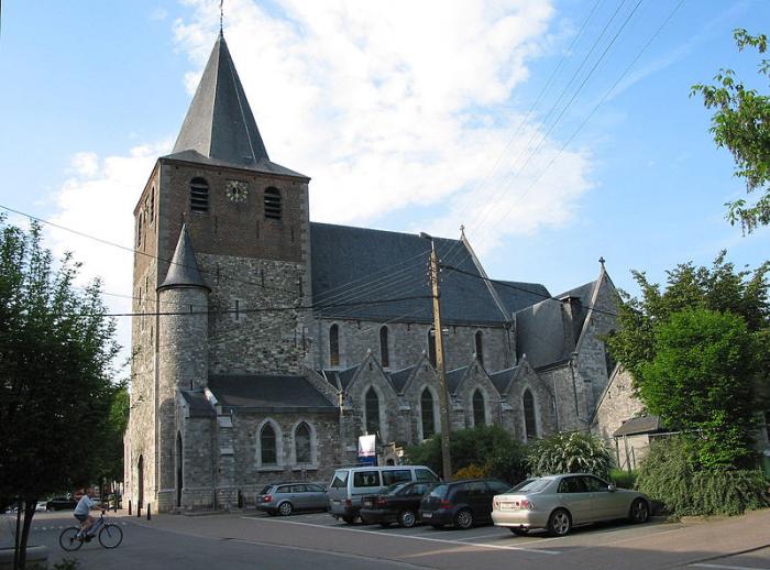
Hannut
Belgium /
Luttich /
Hannut /
World
/ Belgium
/ Luttich
/ Hannut
World / Belgium / Wallonie / Liège / Waremme
city, draw only border
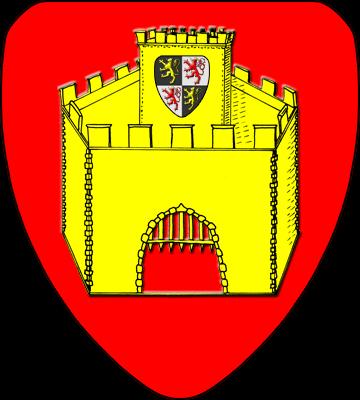
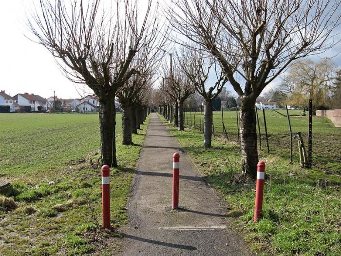
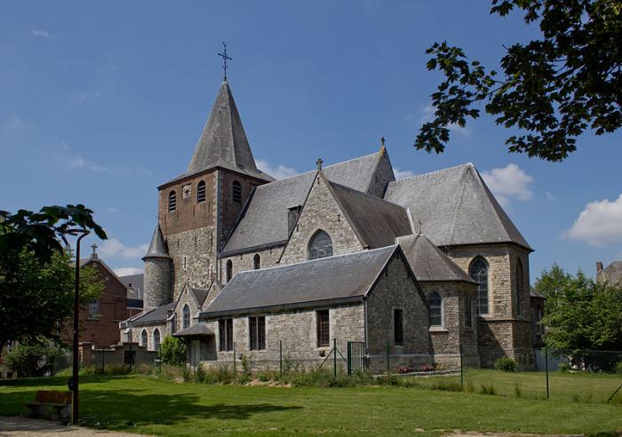
Hannut is a municipality of Belgium. It lies in the country's Walloon Region and Province of Liege. On January 1, 2006, Hannut had a total population of 14,291. The total area is 86.53 km² which gives a population density of 165 inhabitants per km².
Seventeen villages are included in the greater Hannut area: Abolens, Avernas-le-Bauduin, Avin, Bertrée, Blehen, Cras-Avernas, Crehen, Grand-Hallet, Lens-Saint-Remy, Merdorp, Moxhe, Petit-Hallet, Poucet, Thisnes, Trognée (Truielingen), Villers-le-Peuplier, and Wansin.
Seventeen villages are included in the greater Hannut area: Abolens, Avernas-le-Bauduin, Avin, Bertrée, Blehen, Cras-Avernas, Crehen, Grand-Hallet, Lens-Saint-Remy, Merdorp, Moxhe, Petit-Hallet, Poucet, Thisnes, Trognée (Truielingen), Villers-le-Peuplier, and Wansin.
Wikipedia article: https://en.wikipedia.org/wiki/Hannut
Nearby cities:
Coordinates: 50°40'24"N 5°4'43"E
- Genappe (municipality) 50 km
- Beauraing (Municipality) 59 km
- Doische (Municipality) 62 km
- Philippeville (Municipality) 65 km
- Gedinne 72 km
- Viroinval (Municipality) 74 km
- Beaumont (municipality) 77 km
- Vresse-sur-Semois (municipality) 84 km
- Chimay (Municipality) 87 km
- Momignies 95 km
- Hollogne-sur-Geer birdwatching site 8.8 km
- Wachnet nature reserve 10 km
- Horne forest 13 km
- Small forest 14 km
- Carmeuse Group 15 km
- Kouberg forest 15 km
- Ahin castle 19 km
- Tihange nuclear power station 21 km
- Castle-farm de la Sauvenière 21 km
- Fond l'Evêque castle 22 km