Kafr Nabl
Syria /
Idlib /
Kafr Nabl /
World
/ Syria
/ Idlib
/ Kafr Nabl
, 2 km from center (كفرنبل)
World / Syria / Idlib
city
Add category


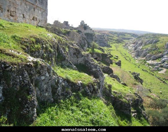

Kafr Nabl (Arabic: كفرنبل, also spelled Kafranbel or Kafr Nabil) is a town administratively belonging to the Idlib Governorate and Ma'arrat al-Numan District in northwestern Syria. It is situated 735 meters (2,411 ft) above sea level. In the 2004 census by the Syrian Central Bureau of Statistics Kafr Nabl had a population of 15,455. In the early 1960s it had a population of about 1,200. Kafr Nabl's inhabitants are predominantly Sunni Muslims.
Wikipedia article: http://en.wikipedia.org/wiki/Kafr_Nabl
Nearby cities:
Coordinates: 35°36'49"N 36°33'26"E
- Baniyas 71 km
- Latakia 75 km
- Antakya district 99 km
- Tartus 100 km
- Kırıkhan (Qiriq Khan) 104 km
- Alexandretta 122 km
- Tripoli District 144 km
- Greater Tripoli 145 km
- Tripoli City 145 km
- Gazimağusa 248 km
- Possible rebel complex 2.2 km
- al-Zawiyah mountains (932 m) 2.2 km
- Btirsa 5.9 km
- المسطاح 6.9 km
- خالد ياسين الكليسلي 7.3 km
- مزرعه بيت ياسين محمد ياسين 7.5 km
- فسيان للدواجن 7.5 km
- Tall Badrān 7.9 km
- Jabal Shahshbo 15 km
- al-Arba'een mountains (881 m) 17 km