Emblem
Belgium /
Antwerpen /
Lier /
World
/ Belgium
/ Antwerpen
/ Lier
World / Belgium / Vlaanderen / Antwerpen / Antwerpen
village, draw only border
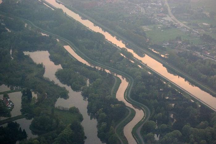
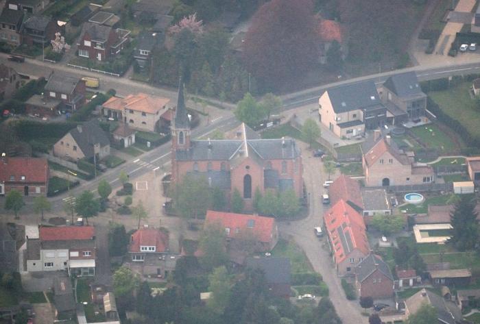
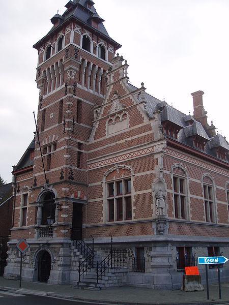
Emblem is a part-municipality of the municipality Ranst.
It was an independent municipality until 1976.
Population: 3.386 (2006)
It was an independent municipality until 1976.
Population: 3.386 (2006)
Nearby cities:
Coordinates: 51°9'45"N 4°35'54"E
- Heist-op-den-Berg (municipality) 5.8 km
- Lier (municipality) 6.5 km
- Herentals 14 km
- Herselt 16 km
- Mechelen (municipality) 18 km
- Aarschot 19 km
- Leuven (municipality) 25 km
- City of Brussels 34 km
- Brussels-Capital Region 37 km
- Overijse 41 km
- Training Centre PIBA 1.9 km
- Fortress Lier 4.9 km
- Quarters Onder Luitenant Baron Zuylen van Nyevelt 7 km
- Van Hool 7.6 km
- Melkouwen 9 km
- Berlaar-Heikant 10 km
- Stompaarshoek 11 km
- Werft 12 km
- Quarters Den Troon 12 km
- Hallaar 13 km