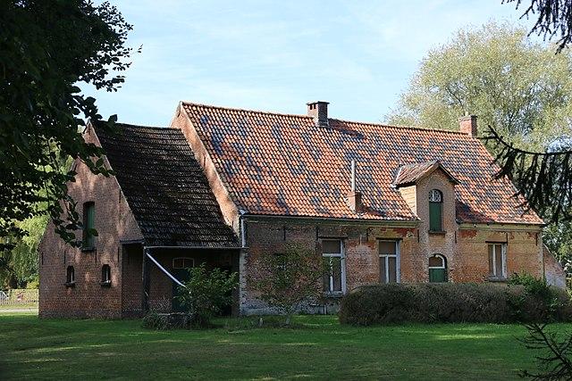
Bouwel
Belgium /
Antwerpen /
Grobbendonk /
World
/ Belgium
/ Antwerpen
/ Grobbendonk
World / Belgium / Vlaanderen / Antwerpen / Turnhout
village, draw only border
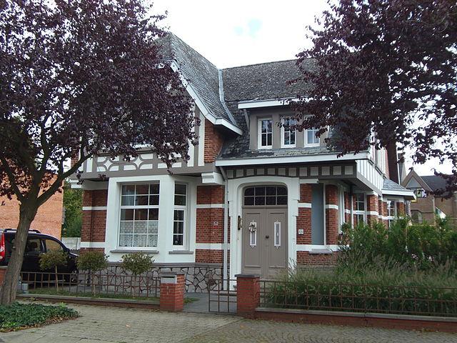
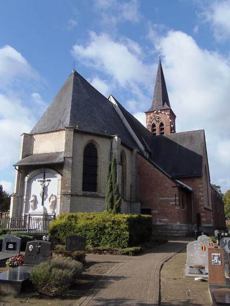
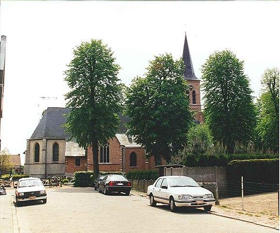
Bouwel is a deelgemeente in the Belgian province of Antwerp; it is attached to the municipality of Grobbendonk.
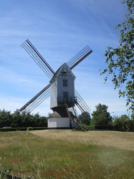
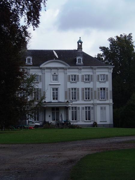
The village was first mentioned in 994 or 997 as Odlobolo. Bouwel used to be owned by the Lords of Grobbendonk until 1487, when it became an independent heerlijkheid. The domain of the Bouwelhof Castle covered the northern eastern part of Bouwel.
Bouwel was an independent municipality until 1977 when it became part of Grobbendonk.
Wikipedia article: https://en.wikipedia.org/wiki/Bouwel
Nearby cities:
Coordinates: 51°10'4"N 4°43'39"E
- Herentals 6.3 km
- Heist-op-den-Berg (municipality) 6.6 km
- Herselt 10 km
- Aarschot 15 km
- Lier (municipality) 15 km
- Leuven (municipality) 26 km
- Mechelen (municipality) 27 km
- City of Brussels 41 km
- Brussels-Capital Region 44 km
- Overijse 44 km
- Quarters Den Troon 3.4 km
- Training Centre PIBA 7.7 km
- Melkouwen 9 km
- Hallaar 9 km
- Quarters Onder Luitenant Baron Zuylen van Nyevelt 10 km
- Berlaar-Heikant 10 km
- Fortress Lier 11 km
- Werft 11 km
- Van Hool 11 km
- Stompaarshoek 13 km