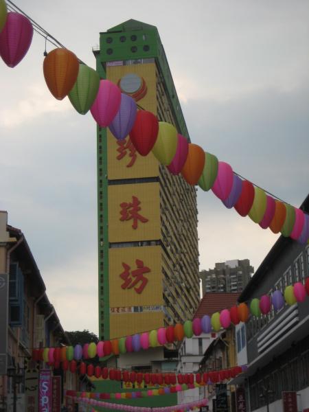
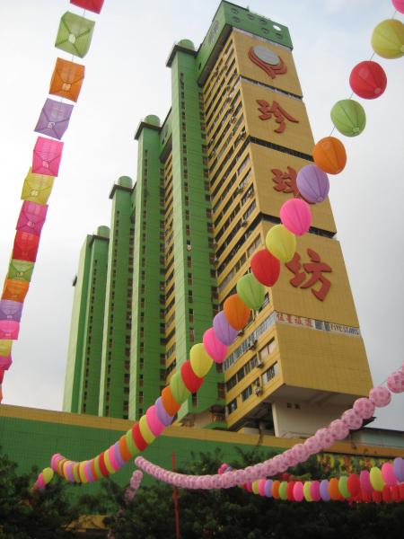
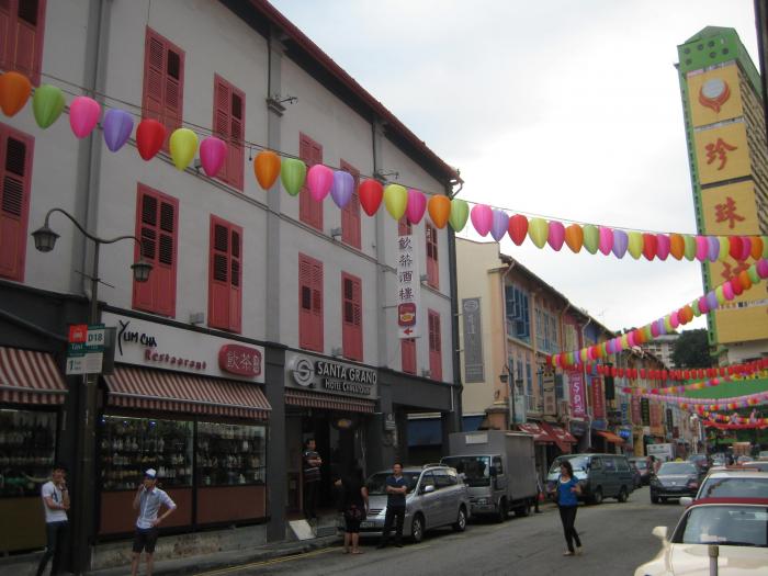
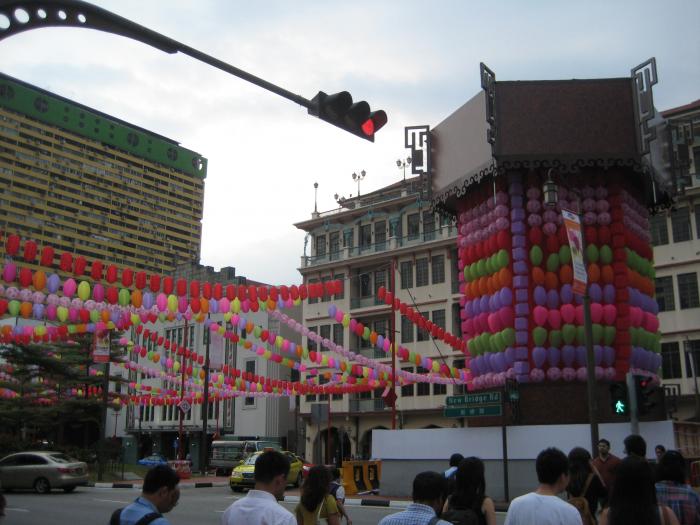
People's Park Complex (Republic of Singapore)
Singapore /
Republic of Singapore
World
/ Singapore
/ Singapore
/ Singapore
World
apartment building, 1973_construction, commercial building
Wikipedia article: https://en.wikipedia.org/wiki/People's_Park_Complex
Nearby cities:
Coordinates: 1°17'3"N 103°50'33"E
- Marina Bay Sands complex 1.6 km
- 7-Eleven - B1-03/05 6238 1945 1.7 km
- Marina Square 1.8 km
- Suntec City Mall 2 km
- Toa Payoh Central 5.6 km
- Tampines Retail Park 14 km
- 7-Eleven 18 km
- Cheers 18 km
- 7-Eleven Terminal 1 19 km
- Kepri Mall 29 km
- China Town (Kreta Ayer) 0.3 km
- Everton Park 0.9 km
- SGH - Singapore General Hospital 1 km
- Tiong Bahru Estate 1.1 km
- Spottiswoode Park 1.2 km
- Spottiswoode Park Estate 1.3 km
- Singapore Cargo Terminal 1.8 km
- Tiong Bahru Estate 1.9 km
- Singapore Island 6.6 km
- Rail Corridor park (former Railway line between Woodlands and Tanjong Pagar) 10 km