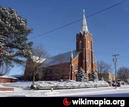
West Point, Nebraska
USA /
Nebraska /
West Point /
World
/ USA
/ Nebraska
/ West Point
World / United States / Nebraska
city, county seat


Wikipedia article: http://en.wikipedia.org/wiki/West_Point,_Nebraska
Nearby cities:
Coordinates: 41°50'17"N 96°42'22"W
- Omaha, Nebraska 69 km
- Sioux City Township, Woodbury County, Iowa 82 km
- Sioux City, Iowa 84 km
- Council Bluffs, Iowa 91 km
- Le Mars, Iowa 115 km
- Sioux Falls, South Dakota 199 km
- Mitchell, South Dakota 244 km
- Marshall, Minnesota 303 km
- Watertown, South Dakota 350 km
- Eagle Butte, South Dakota 512 km
- West point City Park 0.9 km
- West Point Public Schools 1.2 km
- Dead Timber State Recreation Area 14 km
- Smeal Fire Apparatus Company 16 km
- Oakland, Nebraska 20 km
- Nebraska Motorplex - Closed 25 km
- Scribner State Airport (SCB/KSCB) 26 km
- Schribner Army Airfield 26 km
- Wastewater 30 km
- GOAA (AirSoft Field) 42 km