Sint Eustatius (Caribbean Netherlands)
Netherlands Antilles /
Sint Eustatius /
Oranjestad /
World
/ Netherlands Antilles
/ Sint Eustatius
/ Oranjestad
World
island, municipality


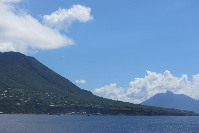
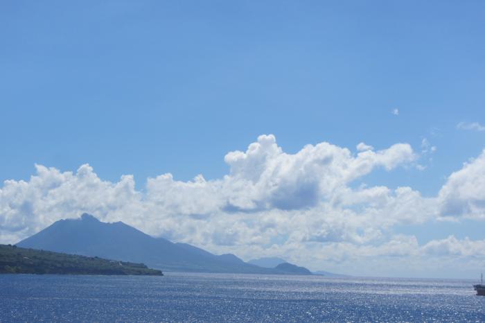
Sint Eustatius is one of the Leeward Islands in the north-eastern part of the Caribbean Sea.
en.wikipedia.org/wiki/Caribbean_Netherlands
Bonaire, Sint Eustatius and Saba that are special municipalities of the Netherlands proper after the dissolution of the Netherlands Antilles on October 10, 2010.
Sint Eustatius has about 3,300 inhabitants and a land area of 21 km² (8.1 sq.mi.), making it the second smallest constituent part of the Carribean Netherlands.
Wikipedia article: http://en.wikipedia.org/wiki/Sint_Eustatius
Nearby cities:
Coordinates: 17°29'42"N 62°58'35"W
- Saint Kitts 15 km
- Nevis 48 km
- Saint Martin 72 km
- Anguilla 89 km
- Montserrat (British Overseas Territory) 108 km
- Virgin Gorda 192 km
- St. Croix, USVI 207 km
- Tortola 213 km
- St. Thomas, USVI 240 km
- Vieques 286 km
- The Quill 2.4 km
- Mount Liamuiga (Mount Misery) 22 km
- Verchild's Mountain 25 km
- Saint Thomas Middle Island 26 km
- Trinity Palmetto Point 30 km
- Saba National Marine Park 32 km
- Saint George Basseterre 40 km
- Saint Kitts and Nevis 42 km
- Réserve Naturelle de Saint Barthélémy 46 km
- Saint-Barthélemy Channel 54 km