Spui (Amsterdam)
Netherlands /
Noord-Holland /
Amsterdam /
Spuistraat
World
/ Netherlands
/ Noord-Holland
/ Amsterdam
World / Netherlands / Zuid-Holland
square
Add category
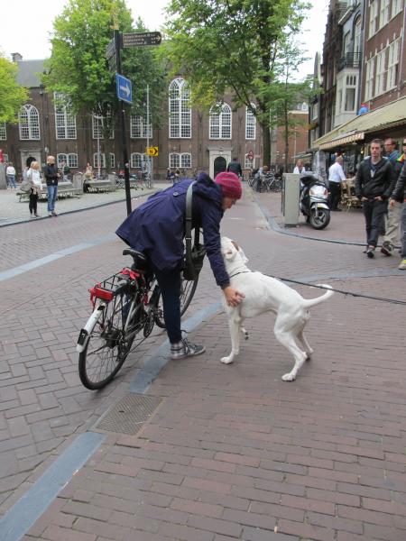
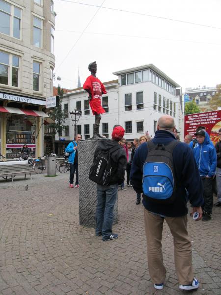


The Spui is a square in the centre of Amsterdam, The Netherlands. The Spui was originally a body of water that formed the southern limit of the city until the 1420s, when the Singel canal was dug as an outer moat around the city. In 1882 the Spui was filled in, and became the square that we know today.
Wikipedia article: http://en.wikipedia.org/wiki/Spui_(Amsterdam)
Nearby cities:
Coordinates: 52°22'7"N 4°53'25"E
- Dam Square 0.5 km
- Waterlooplein 0.6 km
- Museumplein 1.2 km
- J.J. Cremerplein 2.5 km
- Julianaplein 3 km
- Purmerplein 4.3 km
- Osdorpplein 6 km
- Janskerkhof 34 km
- Jozef Israëlsplein 50 km
- Korte Voorhout 51 km
- Keizersgracht 0.3 km
- Herengracht 0.4 km
- Grachtengordel-Zuid 0.5 km
- Stopera 0.7 km
- Singelgracht 0.8 km
- Amsterdam City Centre 1 km
- Amsterdam (municipality) 1.8 km
- Oost/Watergraafsmeer (U) 4.1 km
- Amsterdam-Noord 6.2 km
- North Holland 36 km
Comments