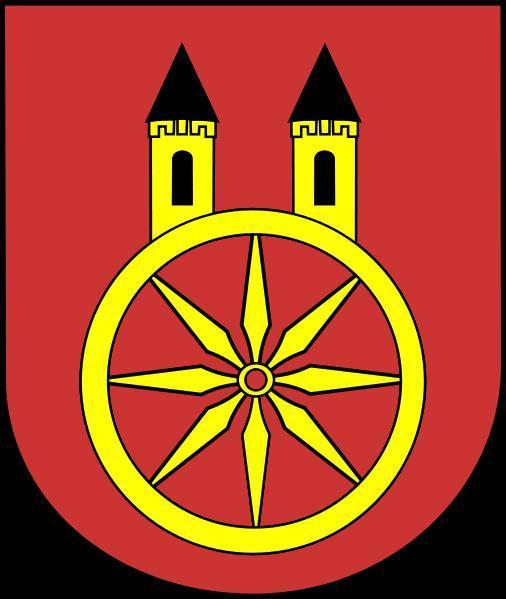
Koło
Poland /
Wielkopolskie /
Kolo /
World
/ Poland
/ Wielkopolskie
/ Kolo
Wereld / Polen /
stad, derde bestuurslaag
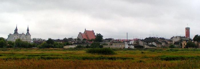

Koło (Duits 1939-1941: Wartbrücken, 1941-1945: Warthbrücken) is een stad in het Poolse woiwodschap Groot-Polen, gelegen in de powiat Kolski. De oppervlakte bedraagt 13,85 km², het inwonertal 23.334 (2005).
Wikipedia-artikel: http://nl.wikipedia.org/wiki/Koło
Nearby cities:
Coördinaten: 52°11'53"N 18°38'14"E
- Konin 34 km
- Kutno 45 km
- Zgierz 59 km
- Łódź 60 km
- Zduńska Wola 66 km
- Ostrów Wielkopolski 85 km
- Poznań 134 km
- Kłobuck 140 km
- Częstochowa 148 km
- Wrocław 168 km
Array