Kolo
Poland /
Wielkopolskie /
Kolo /
World
/ Poland
/ Wielkopolskie
/ Kolo
Världen / Polen /
Stadt, Großstadt, dritte Verwaltungsebene
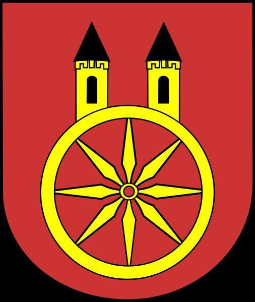
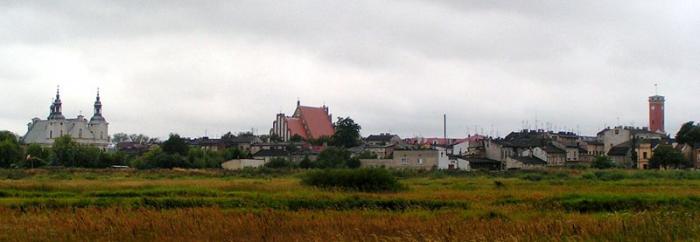

Koło ['kɔwɔ] (deutsch 1940-41 Wartbrücken, 1941–45 Warthbrücken) ist eine Stadt in Polen in der Woiwodschaft Großpolen an der Warthe.
Wikipedia-Artikel: http://de.wikipedia.org/wiki/Koło
Nearby cities:
Koordinaten: 52°11'53"N 18°38'14"E
- Konin 34 km
- Kutno 45 km
- Lodz 60 km
- Kalisz 63 km
- Ostrów Wielkopolski 85 km
- Radomsko 131 km
- Posen 134 km
- Kłobuck 140 km
- Częstochowa 148 km
- Breslau 168 km
Array