Slavyanka
Russia /
Primorje /
Slavyanka /
World
/ Russia
/ Primorje
/ Slavyanka
, 3 km from center (Славянка)
World / Russia / Primor'ye
town, district center
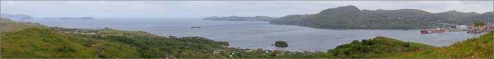
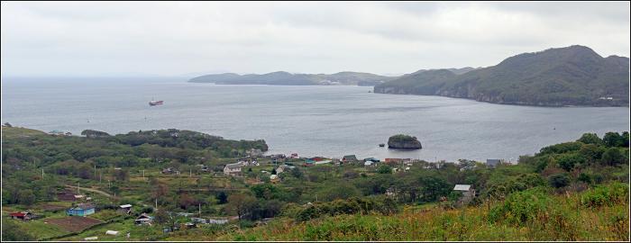

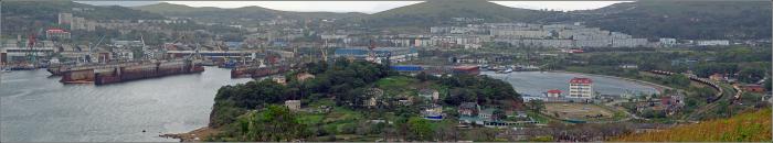
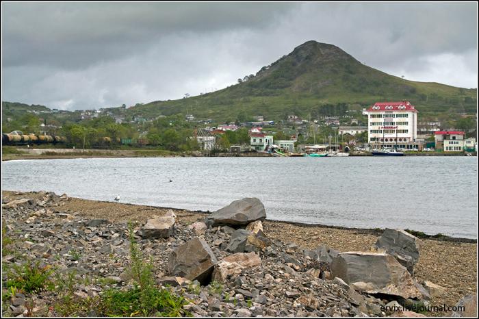
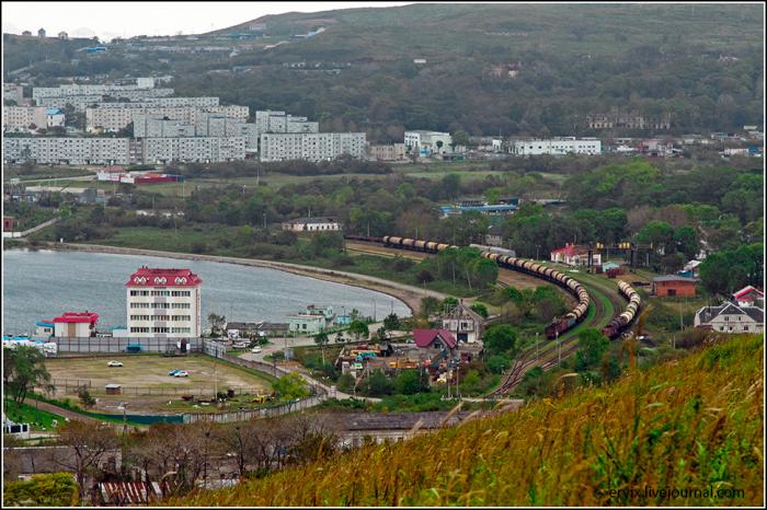
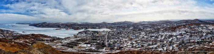
Urban locality (an urban-type settlement) and the administrative center of Khasansky District of Primorsky Krai, Russia, located on the opposite side of the Amur Bay as seen from Vladivostok. Population: 14,036 (2010 Census).
Slavyanka was founded during the settlement of the coast of southern Primorye in the 1850s–1860s, when the Russian government sought to gain a foothold in the region. The signing of the Treaty of Aigun in 1858 and of the Treaty of Beijing in 1860 established the border between Russia and China along the Ussuri River across Lake Khanka. The bay on which Slavyanka stands was shown in the English charts under the name of Port Bruce; other sources also referred to it as Bruce Harbor or Bruce Bay. Slavyanka itself was founded in 1889. On January 4, 1926, Slavyansky Selsoviet within Posyetsky District was established, of which Slavyanka became the administrative center. On April 29, 1943, Slavyanka was granted urban-type settlement status. The intensive development of Slavyanka started in the 1970s, when a shipyard was built here.
Slavyanka was founded during the settlement of the coast of southern Primorye in the 1850s–1860s, when the Russian government sought to gain a foothold in the region. The signing of the Treaty of Aigun in 1858 and of the Treaty of Beijing in 1860 established the border between Russia and China along the Ussuri River across Lake Khanka. The bay on which Slavyanka stands was shown in the English charts under the name of Port Bruce; other sources also referred to it as Bruce Harbor or Bruce Bay. Slavyanka itself was founded in 1889. On January 4, 1926, Slavyansky Selsoviet within Posyetsky District was established, of which Slavyanka became the administrative center. On April 29, 1943, Slavyanka was granted urban-type settlement status. The intensive development of Slavyanka started in the 1970s, when a shipyard was built here.
Wikipedia article: http://en.wikipedia.org/wiki/Slavyanka,_Primorsky_Krai
Nearby cities:
Coordinates: 42°52'12"N 131°23'59"E
- Shkotovo 92 km
- Smolyaninovo 98 km
- Dongning County 136 km
- Lipovtsy 152 km
- Yaroslavsky 162 km
- Sibirtsevo 173 km
- Pogranichny 175 km
- Suifenhe City 175 km
- Muling 210 km
- Rudny 329 km
- Bryusa Pen. 2.5 km
- Nerpa Bay 2.6 km
- Slavyansky Inlet 4.9 km
- Antipenko Island 5.8 km
- Baklan Bay 6.6 km
- Sibiryakova Island 8.2 km
- Amur Bay 35 km
Comments