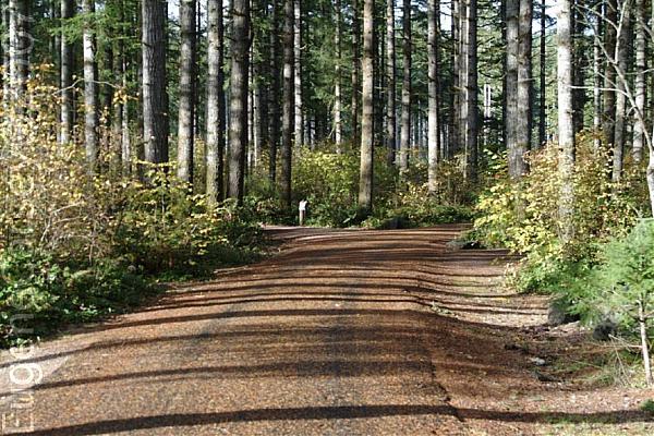
Margaret McKenny Camprground
USA /
Washington /
Rochester /
World
/ USA
/ Washington
/ Rochester
World / United States / Washington
campsite / caravan site
Add category
Washington Department of Natural Resources
MARGARET McKENNY CAMPGROUND
LATITUDE: N 46°55.530
LONGITUDE: W 123°03.636
Elevation around 250'
www.eugenecarsey.com/camp/capitol/margaret.htm
MARGARET McKENNY CAMPGROUND
LATITUDE: N 46°55.530
LONGITUDE: W 123°03.636
Elevation around 250'
www.eugenecarsey.com/camp/capitol/margaret.htm
Nearby cities:
Coordinates: 46°55'30"N 123°3'37"W
- Sand Island Campground 156 km
- Lost Lake 185 km
- Sidney Spit (Gulf Islands National Park Reserve) 194 km
- Portland Island 203 km
- Tumbo Island 209 km
- Ruckle Provincial Park 210 km
- Clear Lake 219 km
- Timothy Lake 221 km
- Beverly Dunes ORV Park 241 km
- Pearrygin Lake State Park 279 km
- Mima Mounds Natural Area Preserve 3 km
- Glacial Heritage Preserve 6.7 km
- Capitol State Forest 8.5 km
- Rochester, Washington 11 km
- Chehalis Indian Reservation 16 km
- Satsop Nuclear Site -- WPPS 31 km
- Satsop, Washington 33 km
- Brady, Washington 36 km
- Central Park, Washington 49 km
- Willie Keils Grave State Park 57 km