Badwater Basin
USA /
California /
Furnace Creek /
World
/ USA
/ California
/ Furnace Creek
World / United States / California
basin (geographical), dry lake


Death Valley National Park
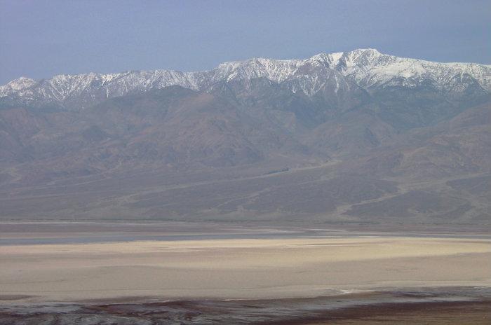
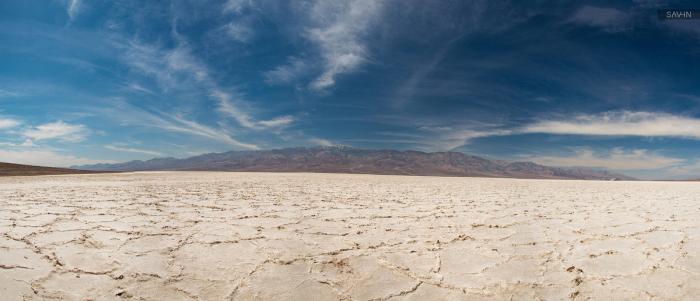
Badwater Basin, the lowest area in the Western Hemisphere.
The 16 square miles of salt flats within this rectangle are all close to 280 feet below sea level, some places as low as 282.7' below sea level.
(Earth's only lower place: the Dead Sea in Israel).
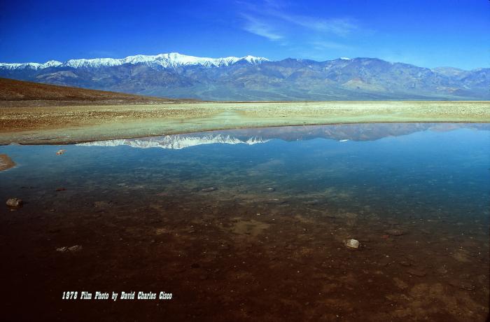
During exceptionally wet winters the normally dry Amargosa River flows into this depression from the south, turning the playa into a temporary lake a mile wide and four inches deep.(as seen in the above photo, dated March 2005)
en.wikipedia.org/wiki/Endorheic
www.topoquest.com/map.php?lat=36.25023&lon=-116.82588&d...
Badwater Basin, the lowest area in the Western Hemisphere.
The 16 square miles of salt flats within this rectangle are all close to 280 feet below sea level, some places as low as 282.7' below sea level.
(Earth's only lower place: the Dead Sea in Israel).
During exceptionally wet winters the normally dry Amargosa River flows into this depression from the south, turning the playa into a temporary lake a mile wide and four inches deep.(as seen in the above photo, dated March 2005)
en.wikipedia.org/wiki/Endorheic
www.topoquest.com/map.php?lat=36.25023&lon=-116.82588&d...
Wikipedia article: http://en.wikipedia.org/wiki/Badwater_Basin
Nearby cities:
Coordinates: 36°13'58"N 116°49'13"W
- Panamint Valley 69 km
- Garfield Flat 275 km
- Alkali Valley 288 km
- Smith Creek Valley Playa 355 km
- Aztec Amphitheatre 389 km
- Spur Lake Basin 759 km
- Fancher's Flat 1410 km
- Sooke Basin 1467 km
- Foxe Basin 4195 km
- Palawai Basin 4246 km
- Devil's Golf Course 6.9 km
- Alluvial Fan 13 km
- Deb Analog 16 km
- Death Valley National Park 21 km
- Panamint Range 29 km
- Supersonic Low Level test area 45 km
- Mosaic Canyon 46 km
- Lake Hill 55 km
- Cottonwood Mountains 77 km
- Naval Air Weapons Station China Lake, North Range 82 km
Comments