Tét
Hungary /
Gyor-Moson-Sopron /
Tet /
World
/ Hungary
/ Gyor-Moson-Sopron
/ Tet
city
Add category
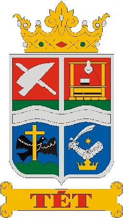
Tét is a town in Győr-Moson-Sopron county, Hungary.
Wikipedia article: http://en.wikipedia.org/wiki/Tét
Nearby cities:
Coordinates: 47°31'15"N 17°30'32"E
- Győr 23 km
- Tatabánya 61 km
- Székesfehérvár 67 km
- Bratislava 93 km
- Nitra 100 km
- Érd 100 km
- Szazhalombatta 103 km
- Budapest 107 km
- Trenčín 160 km
- Banská Bystrica 183 km
- Pókvárpuszta 3 km
- Ferencházapuszta 4.7 km
- Ürgehegy 4.7 km
- Ősborókás 6.1 km
- Nagyszentpál 8.8 km
- Ménfőcsanak 14 km
- Hőgyészmajor 18 km
- Öttevény railway station 22 km
- Győr-Moson-Sopron County 32 km
- Szigetköz 40 km