Shiretoko peninsula (Shari)
Japan /
Hokkaido /
Shibetsu /
Shari
World
/ Japan
/ Hokkaido
/ Shibetsu
World / Japan / Hokkaido
peninsula, nature conservation park / area, invisible, national park
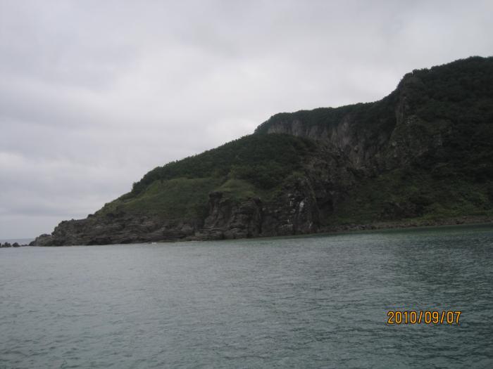
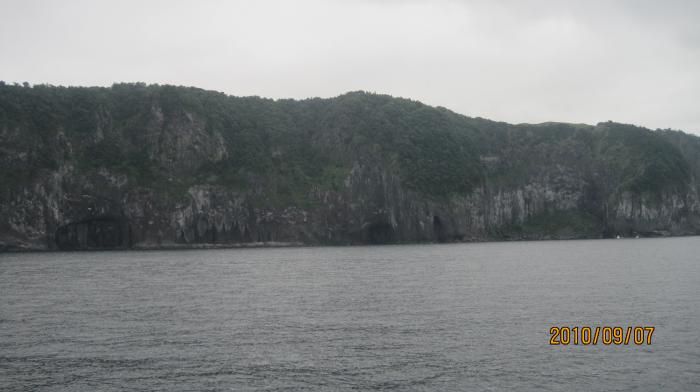
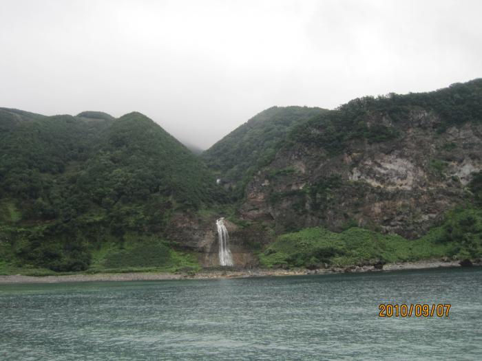
Shiretoko Peninsula (知床半島, Shiretoko-hantō) is located on the easternmost portion of the Japanese island of Hokkaidō, protruding into the Sea of Okhotsk. It is separated from the Kunashir Island of Russia by the Nemuro Strait. The name Shiretoko is derived from the Ainu language word sir etok, meaning the end of the Earth or the place where the Earth protrudes. The towns of Rausu and Shari cover the peninsula.
On July 14, 2005, in a meeting held in the Republic of South Africa, the Shiretoko Peninsula was declared a UNESCO World Heritage Site, and on July 17 was officially registered as such. The reason is that in the Northern Hemisphere, the peninsula is the southern most point where sea ice usually forms.
On July 14, 2005, in a meeting held in the Republic of South Africa, the Shiretoko Peninsula was declared a UNESCO World Heritage Site, and on July 17 was officially registered as such. The reason is that in the Northern Hemisphere, the peninsula is the southern most point where sea ice usually forms.
Wikipedia article: http://en.wikipedia.org/wiki/Shiretoko_Peninsula
Nearby cities:
Coordinates: 44°11'11"N 145°11'16"E
- Medvezhiy Peninsula 290 km
- Cape Patience 577 km
- Izu Peninsula 1149 km
- Pyagina peninsula 1797 km
- Ozernoy Peninsula 1936 km
- Lüshunkou District 2081 km
- Poluostrov Telanskiy 2118 km
- Taygoniy peninsula 2209 km
- Mametchinskiy Penninsula 2292 km
- Saint Nose Peninsula 2846 km
- Shiretoko National Park 2.9 km
- Shiretoko-dake 8.8 km
- Shiretokonuma 12 km
- Pekinno-hana 17 km
- Cape Shiretoko 21 km
- Kunashirsky Strait 26 km
- Kunashir Island 65 km
- Prasolova Cape 69 km
- Tiatia volcano (1819 meters) 86 km
- State natural reserve "Kurilski" 86 km