Tombelaine
France /
Basse-Normandie /
Le Mont-Saint-Michel /
World
/ France
/ Basse-Normandie
/ Le Mont-Saint-Michel
France / World / Bretagne / Ille-et-Vilaine / Fougères-Vitré / Fougères-Sud
island, listed building / architectural heritage, ornithological reserve
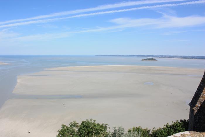
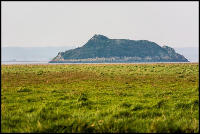
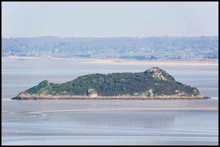
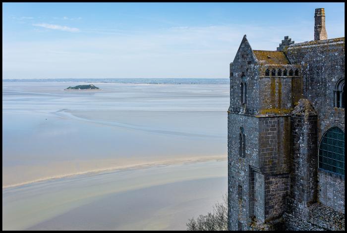
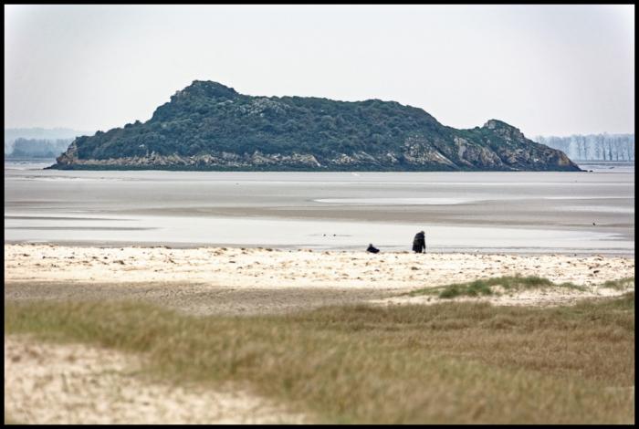
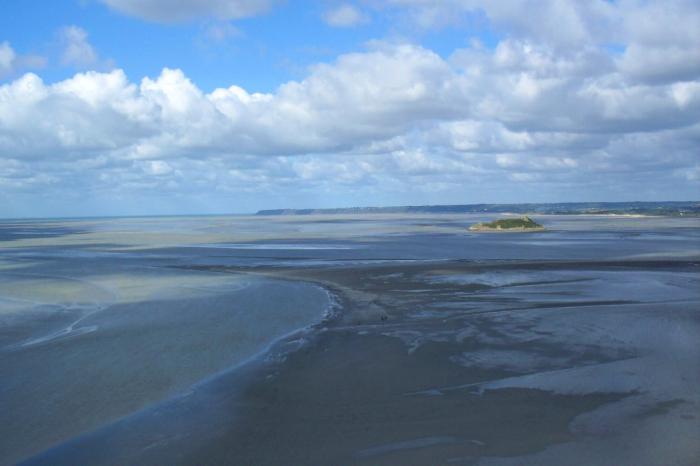
Tombelaine is a small tidal island off the coast of Normandy in France. It lies a few kilometres north of Mont Saint-Michel. At low tide the island can be reached on foot (with a guide) from the coast of Cotentin, 3.5 km to the north-east, and from Mont Saint-Michel.The island lies just to the south of the course of the Sélune river, which has to be forded to access the island from Cotentin. The island is 250 metres by 150 metres, and 45 metres high. It is composed of granite. It is in the commune of Genêts.
Wikipedia article: http://en.wikipedia.org/wiki/Tombelaine
Nearby cities:
Coordinates: 48°39'36"N 1°30'47"W
- Île-d'Arz 152 km
- Ile aux Moines 154 km
- Île-d'Houat 178 km
- Groix island 186 km
- Noirmoutier-en-l'Île 191 km
- Belle-Île 192 km
- Île d'Yeu 225 km
- Île de Ré 267 km
- Ushant 268 km
- Oléron 291 km
- Information Center 5.3 km
- Parking Area 5.5 km
- camping sous les pommiers 7.1 km
- Runway 8 km
- Bay of Mont Saint Michel 11 km
- Sains 13 km
- Pleine-Fougères 15 km
- Mont-Dol 21 km
- Antrain 22 km
- Ille-et-Vilaine / Ill-ha-Gwilen (35) 55 km