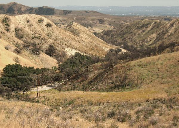
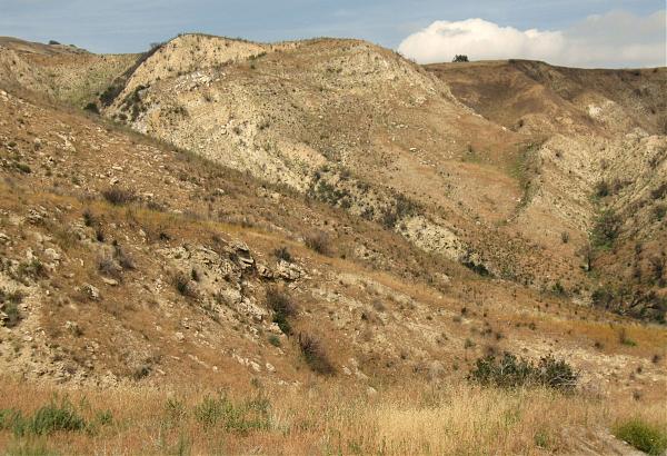
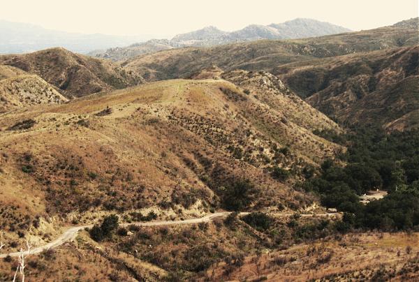
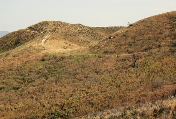
Antonovich Open Space Park (Joughin Ranch Section)
USA /
California /
Santa Clarita /
Browns Canyon Road, 16100
World
/ USA
/ California
/ Santa Clarita
World / United States / California
mountain, nature conservation park / area
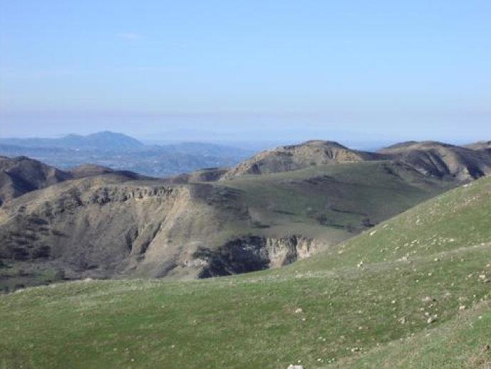
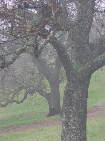
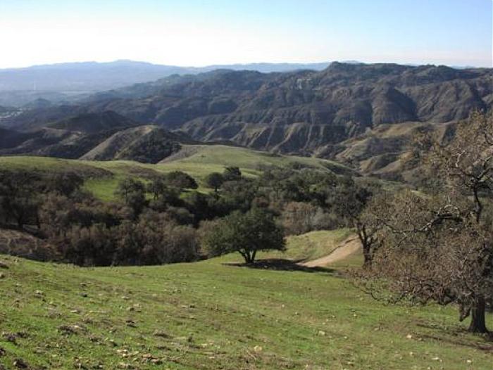
Michael D. Antonovich Regional Park at Joughin Ranch.
2,326 acres of parkland.
Open to the public from sunrise to sunset.
Public Access: 1.) At north end of Brown's Canyon Road, can drive into the heart of the park, a parking lot (three dollars/day), and trailheads for several hiking and mountain bike trails.
Public Access: 2.) Trail connections with Rocky Peak Park to west.
MAP LINK: www.lamountains.com/maps/joughin.pdf
PARK LINK: www.lamountains.com/parks.asp?parkid=36
Wikipedia article: http://en.wikipedia.org/wiki/Santa_Susana_Mountains
Nearby cities:
Coordinates: 34°18'58"N 118°36'50"W
- Channel Islands National Park 171 km
- Mojave National Preserve 258 km
- El Pinacate / Gran Desierto de Altar 407 km
- Kofa National Wildlife Refuge 412 km
- Yosemite National Park 446 km
- The Grand Canyon (western section) 472 km
- Cabeza Prieta National Wildlife Refuge 477 km
- Grand Canyon Parashant National Monument 493 km
- Grand Canyon National Park 506 km
- Pinacate 519 km
- Oat Mountain 1.9 km
- Oat Mountain Radio Site 2.3 km
- Shell Oil Fields 4.6 km
- Towsley Benchmark 4.9 km
- Southern Oaks 6.8 km
- Lyons Canyon Ranch 7.1 km
- Newhall 8.7 km
- Stevenson Ranch, California 9 km
- Valencia 12 km
- Los Angeles County, California 30 km