M 34
France /
Alsace /
Oberhausbergen /
World
/ France
/ Alsace
/ Oberhausbergen
France / Monde / Alsace / Bas-Rhin / /
fortification
Ajoutez un catégorie
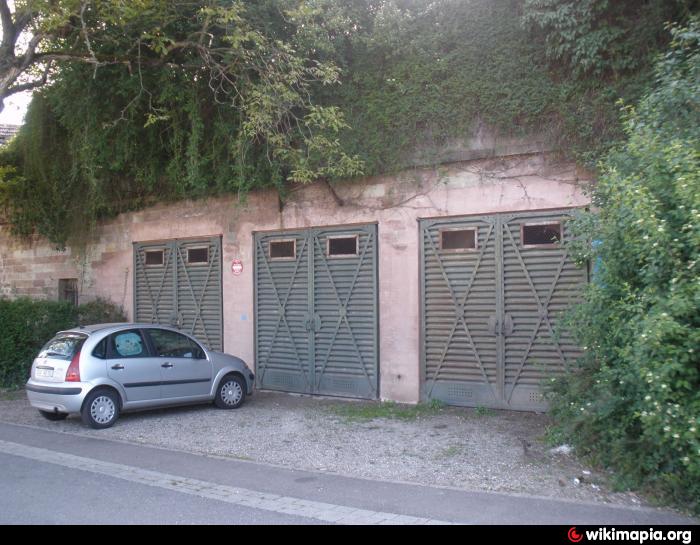
Munitionsraum der Festung Straßburg, 1887/89
Villes proches:
Coordonnées : 48°36'36"N 7°41'3"E
- Fort Frère 0.8 km
- Fort Foch (Kronprinz) 2.1 km
- Fort Kleber 2.7 km
- Fort Desaix (Roon) et stand de Tir civil 4.2 km
- FORT ROON-DESAIX 4.3 km
- Fort Sachsen (JOFFRE) 5.7 km
- Zwischenwerk Sachsen-Tann // Ouvrage Joffre-Lefebvre 7 km
- Fort Lefebvre 9 km
- Fort Uhrich 11 km
- Fort de Mutzig 18 km
- Quartier Zinkenthal-Colline 0.5 km
- Quartier Le Vésinet 0.5 km
- Quartier Le Moulin 0.6 km
- Fort FRERE 0.6 km
- Parc d'activité - VALPARC 0.9 km
- tranchées 2.2 km
- Ringbahn (D'après cadastre 1895) 2.3 km
- Strasbourg Eurométropole 6.3 km
- Fossé rhénan 27 km
- Alsace 42 km