Fort Uhrich (Illkirch-Graffenstaden)
France /
Alsace /
Illkirch-Graffenstaden /
Route du Fort Uhrich
World
/ France
/ Alsace
/ Illkirch-Graffenstaden
France / Monde / Alsace / Bas-Rhin / /
fortification, Maginot line (en)
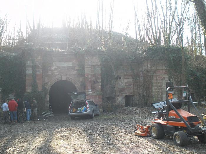
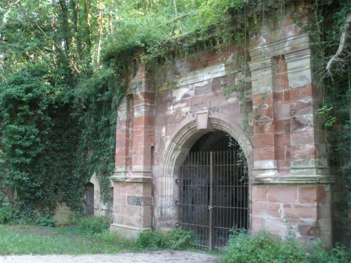

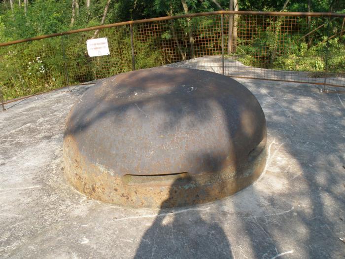
Fort Uhrich
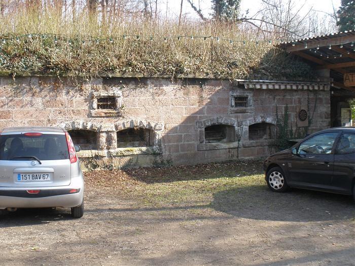
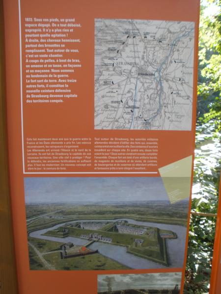
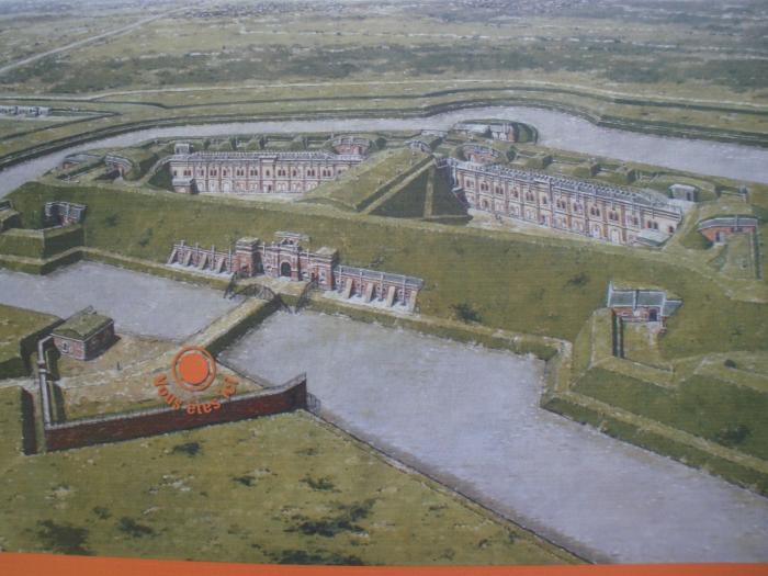
Période allemande 1870-1914
FORT UHRICH (237°RI) - Poste de Commandement (SFBR) Ligne Maginot
Période allemande 1870-1914
FORT UHRICH (237°RI) - Poste de Commandement (SFBR) Ligne Maginot
Article dans Wikipedia: https://fr.wikipedia.org/wiki/Liste_de_forts,_fortifications,_citadelles_et_places_fortes_en_France#Strasbourg
Villes proches:
Coordonnées : 48°30'39"N 7°43'22"E
- Fort Lefebvre 3.2 km
- Zwischenwerk Sachsen-Tann // Ouvrage Joffre-Lefebvre 5.3 km
- Fort Sachsen (JOFFRE) 7 km
- Fort Kleber 10 km
- Fort Frère 12 km
- Fort Foch (Kronprinz) 13 km
- Fort Desaix (Roon) et stand de Tir civil 14 km
- FORT ROON-DESAIX 14 km
- FORT DE MUTZIG (zone de visite) 20 km
- Fort de Mutzig 21 km
- Parc d'innovation d'Illkirch-Graffenstaden 1.4 km
- Zone Industrielle et Commerciale de Fegersheim 2.3 km
- Eschau 2.9 km
- Geispolsheim-Gare 3 km
- Geispolsheim Village 5.5 km
- Plan d'eau de Plobsheim 6 km
- Strasbourg Eurométropole 6.5 km
- Forêt de Geispolsheim et Blaesheim 6.8 km
- Alsace 32 km
- Fossé rhénan 35 km
Commentaires