Vf. Semenic
Romania /
Caras-Severin /
Valiug /
World
/ Romania
/ Caras-Severin
/ Valiug
World / Romania
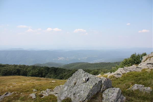


ski resort, close to Reşiţa (45km), 1446m alt.
semenic.online.ro
Ski path for about 5.8 km between Semenic Peak and Valiug.
semenic.online.ro
Ski path for about 5.8 km between Semenic Peak and Valiug.
Wikipedia article: http://en.wikipedia.org/wiki/Semenic
Nearby cities:
Coordinates: 45°11'21"N 22°4'36"E
- Gărâna 5.4 km
- Văliug 6.8 km
- Brebu Nou 6.9 km
- Iabalcea 14 km
- baile secu 15 km
- Petroşniţa 21 km
- Clocotici 22 km
- Moniom district 27 km
- Rusca bai 27 km
- "Magura" District 32 km
- Prototype wind turbine 0.5 km
- Prototype wind turbine 0.7 km
- Semenic ski resort 1.6 km
- Semenic Radio-TV Relay 1.9 km
- Goznei Stone Peak 2 km
- Semenic Peak 2 km
- Valiug Lake 5.1 km
- "Trei Ape" Lake 5.4 km
- Trout Farm 7.1 km