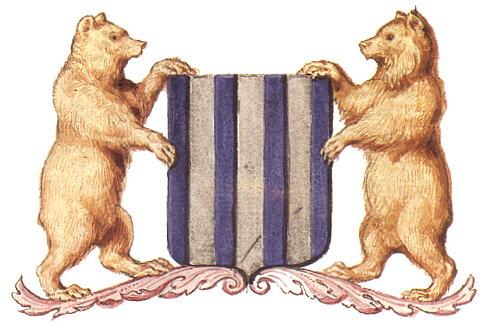
Berlaar (municipality)
Belgium /
Antwerpen /
Berlaar /
World
/ Belgium
/ Antwerpen
/ Berlaar
World / Belgium / Vlaanderen / Antwerpen / Mechelen
municipality, draw only border


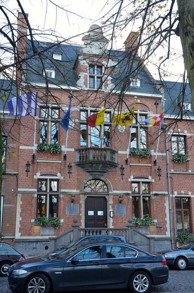
Berlaar (Dutch pronunciation: [ˈbɛrlaːr]) is a municipality located in the Belgian province of Antwerp. The municipality comprises the towns of Berlaar proper and Gestel. On January 1, 2011, Berlaar had a total population of 10,891. The total area is 24.57 km² which gives a population density of 443 inhabitants per km².
The current municipality of Berlaar was founded on 1 January 1965. Berlaar is actually a fusion of the former municipality Gestel and the Core of Berlaar itself. Berlaar is a part of the Belgische Kempen.
The current municipality of Berlaar was founded on 1 January 1965. Berlaar is actually a fusion of the former municipality Gestel and the Core of Berlaar itself. Berlaar is a part of the Belgische Kempen.
Wikipedia article: http://en.wikipedia.org/wiki/Berlaar
Nearby cities:
Coordinates: 51°6'19"N 4°39'9"E
- Geel 23 km
- Mol 36 km
- Antwerp (municipality) 43 km
- Beveren (Municipality) 45 km
- Zundert (municipality) 50 km
- Alphen-Chaam 51 km
- Breda 60 km
- Oirschot (Municipality) 62 km
- Tilburg 63 km
- Steenbergen (municipality) 70 km
- Quarters Onder Luitenant Baron Zuylen van Nyevelt 1.4 km
- Melkouwen 1.9 km
- Berlaar-Heikant 2.5 km
- Van Hool 2.8 km
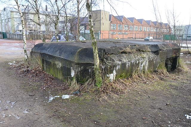
- Fortress Lier 4.1 km
- Werft 4.4 km
- Stompaarshoek 4.5 km
- Hallaar 6.1 km
- Training Centre PIBA 8.1 km
- Quarters Den Troon 12 km