Swedish fortress Nyenskans (Saint Petersburg)
Russia /
Sankt Petersburg /
Saint Petersburg
World
/ Russia
/ Sankt Petersburg
/ Saint Petersburg
, 10 km from center (Санкт-Петербург)
World / Russia / Leningrad
historical layer / disappeared object
Add category
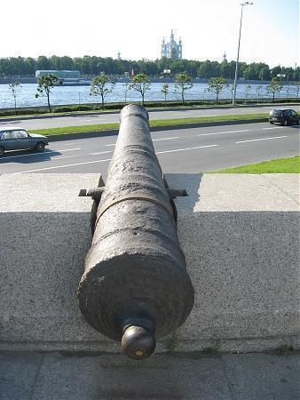
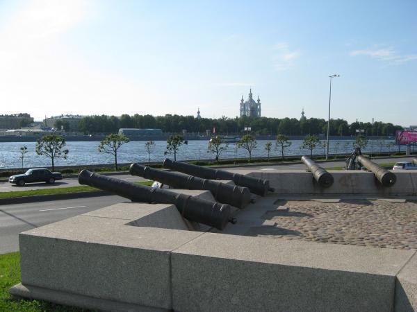
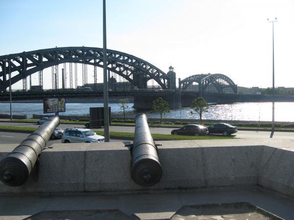
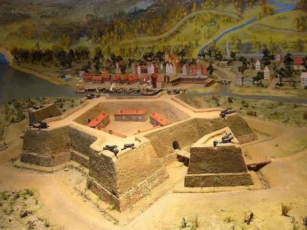
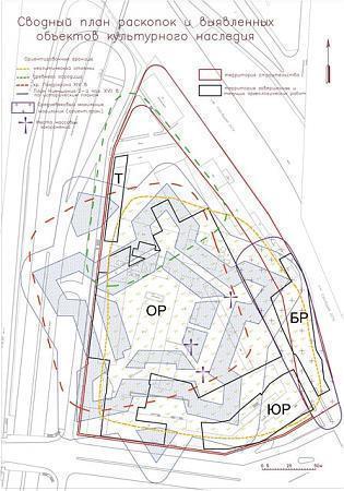
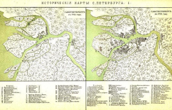
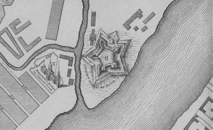
This is the location of the old Swedish settlement Nyenskans.
It consisted of a fortified town by the creek now named Ochta.
The province Ingria (Swedish:Ingermanland) belonged to Sweden 1617-1721.
The area was originally populated by fhe finnic-ugric Vots, Ingrians
and during the Swedish rule Finns from Carelia.
It consisted of a fortified town by the creek now named Ochta.
The province Ingria (Swedish:Ingermanland) belonged to Sweden 1617-1721.
The area was originally populated by fhe finnic-ugric Vots, Ingrians
and during the Swedish rule Finns from Carelia.
Nearby cities:
Coordinates: 59°56'37"N 30°24'24"E
- Бывшая трамвайная остановка 0.9 km
- Ogonek sinema 1.1 km
- Degtyarny pereulok, 29 1.4 km
- Kindergarten № 116 1.7 km
- Former kindergarten 1.7 km
- Okhta Centre - abandoned construction site 0.1 km
- Krasnogvardeyskaya square 0.2 km
- Bolshaya Okhta municipal district 1 km
- Bol'shaya Okhta (historical area) 1.3 km
- Malaya Okhta (historical area) 1.5 km
- Malaya Okhta municipal district 1.5 km
- Smolninskoye Municipal Okrug 1.5 km
- Tsentralny District 3 km
- Krasnogvardeysky District 5.6 km
- Saint Petersburg 18 km