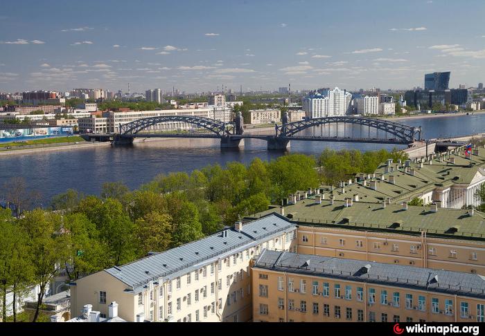
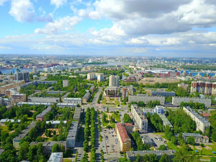
Malaya Okhta (historical area) (Saint Petersburg)
Russia /
Sankt Petersburg /
Saint Petersburg
World
/ Russia
/ Sankt Petersburg
/ Saint Petersburg
, 11 km from center (Санкт-Петербург)
World / Russia / Leningrad
invisible, historic district

Nearby cities:
Coordinates: 59°55'53"N 30°25'1"E
- Right-bank part of the Nevsky district of St. Petersburg 0.6 km
- Left-bank part of the Nevsky district of St. Petersburg 3.1 km
- Kupchino 6.2 km
- Vyborgskaya Storona (historical area) 11 km
- Grazhdanka (historical area) 13 km
- Yugo-Zapad 16 km
- Kamenka (historical area) 21 km
- Osinovaya Roscha 25 km
- Kronstadt 45 km
- Tsentralny District 128 km
- Theatre Buff St.Petersburg
- Malaya Okhta municipal district 0.3 km
- Novocherkassky prospekt, 26/16 0.3 km
- Novocherkasskaya metrostation 0.3 km
- Zanevskaya Square 0.4 km
- Zybulya 0.7 km
- Sankt-Peterburg-Ladozhsky (Dacha Dolgorukova) railway station 1.7 km
- Right-bank part of the Nevsky district of St. Petersburg 4.6 km
- Krasnogvardeysky District 6.3 km
- Nevsky District 7.1 km
Theatre Buff St.Petersburg
Malaya Okhta municipal district
Novocherkassky prospekt, 26/16
Novocherkasskaya metrostation
Zanevskaya Square
Zybulya
Sankt-Peterburg-Ladozhsky (Dacha Dolgorukova) railway station
Right-bank part of the Nevsky district of St. Petersburg
Krasnogvardeysky District
Nevsky District