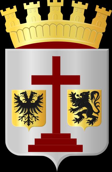
Geraardsbergen
Belgium /
Ost-Flandern /
Geraardsbergen /
World
/ Belgium
/ Ost-Flandern
/ Geraardsbergen
World / Belgium / Vlaanderen / Oost-Vlaanderen / Aalst
city, draw only border
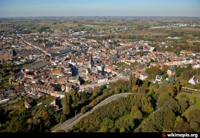
Geraardsbergen (Dutch pronunciation: [ˈɣeːraːrdzbɛrɣə(n)], French: Grammont) is a city and municipality located in the Denderstreek and in the Flemish Ardennes, the hilly southern part of the Belgian province of East Flanders. The municipality comprises the city of Geraardsbergen proper and the following towns:
Goeferdinge, Grimminge, Idegem, Moerbeke (Geraardsbergen) (nl), Nederboelare, Nieuwenhove, Onkerzele, Ophasselt, Overboelare, Schendelbeke, Smeerebbe-Vloerzegem, Viane, Belgium (nl), Waarbeke, Zandbergen and Zarlardinge.
On January 1, 2006 Geraardsbergen had a total population of 31,380. The total area is 79.71 km² which gives a population density of 394 inhabitants per km².
Wikipedia article: http://en.wikipedia.org/wiki/Geraardsbergen
Nearby cities:
Coordinates: 50°46'10"N 3°52'53"E
- Ninove (municipality) 12 km
- Brakel (municipality) 15 km
- Zottegem (Municipality) 19 km
- Oudenaarde (municipality) 28 km
- Lochristi (Municipality) 43 km
- Lokeren (Municipality) 44 km
- Ghent 44 km
- Temse (Municipality) 48 km
- Sint-Niklaas (Municipality) 49 km
- Evergem (municipality) 51 km
- Urban General Hospital 0.3 km
- City Warehouse 0.5 km
- Geraardsbergen Railway station 0.7 km
- Abbey Park 0.7 km
- Cinema Focus 0.8 km
- Denderland Shopping 0.9 km
- Union Allumetière 0.9 km
- Water treatment plant 1 km
- Delauvre 1.4 km
- Industrial Park 2.3 km