Mrug Gad
India /
Maharashtra /
Lonavale /
World
/ India
/ Maharashtra
/ Lonavale
World / India / Maharashtra / Raigarh
hillfort
Add category
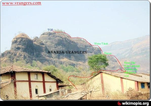
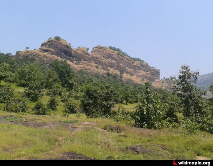
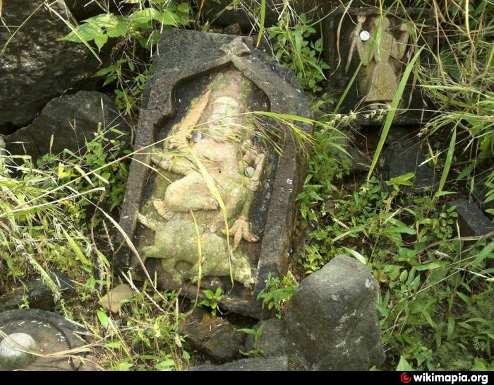
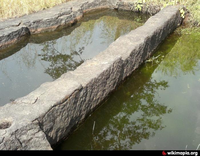
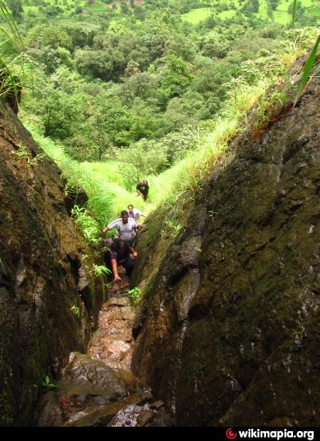
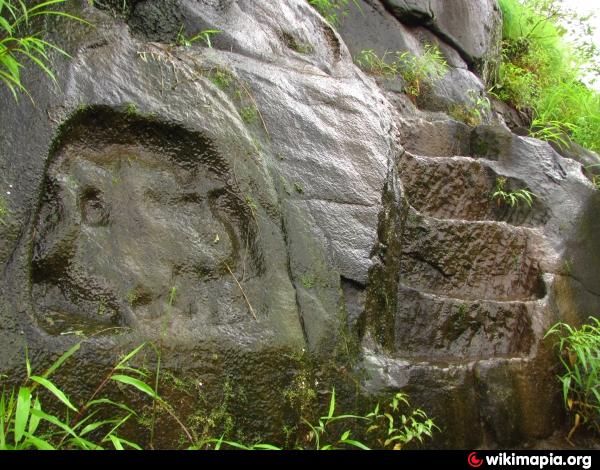
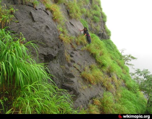
This fort can accessed from Khopoli-Khalapur-Pali Road via Jambhulpada. The local people call it as Bhelivcha killa as the village at the foothills is Bheliv. The fort can be accessed via a narrow col and then a beautifully carved steps takes you to the top. The top has 6 water cisterns and remains of settlements. From the col, a path towards right goes to a cave and small steps are carved in rock to access it. It takes about 30-40 minutes to reach the top of the fort. To reach here, one has to take 6 Seater auto from Khopoli to Jambhulpada and then another 6 Seater auto from Jambhulpada. Frequency is very low so better travel by own transport. One can also visit Umbarkhind in a day trip along with Mrugagad.
Wikipedia article: http://en.wikipedia.org/wiki/mruggad
Nearby cities:
Coordinates: 18°41'19"N 73°21'51"E
- Rawala and Jawala forts Plateau 198 km
- Kille Ahivant 200 km
- Kille Dhodap 202 km
- Kille Mulher & Mora 242 km
- Mandu Fort 460 km
- Asirgarh 638 km
- Polonnaruwa Archaeological Complex 1450 km
- Gyaur Kala fortress (Seleucid-Sassanid era) 2377 km
- Sultan Kala Fortress (Abbasid/Seljuk era) 2379 km
- Tape Zaghe & Tape Ghabrestan & Ghare Tape- 7000 BC 2988 km
- Moradi cha Sulka, Moradi Pinnacle 1.7 km
- Shiv Sagar Dam, Pratap Nagar 3.8 km
- INS Shivaji 4 km
- Nisanichi Vaat 4.3 km
- Kurwande Village 4.9 km
- Ghotawade dam 5.1 km
- Gaarmal Hill Station 6.4 km
- Sudhagad Taluka 15 km
- Khalapur Taluka 21 km
- Maval Taluka 21 km
Comments